
ARTWORKS
Please scroll to view locations that are host to artworks as part of the Outdoor Arts Experience exhibition. Click on artist’s name to view more information on their installation.
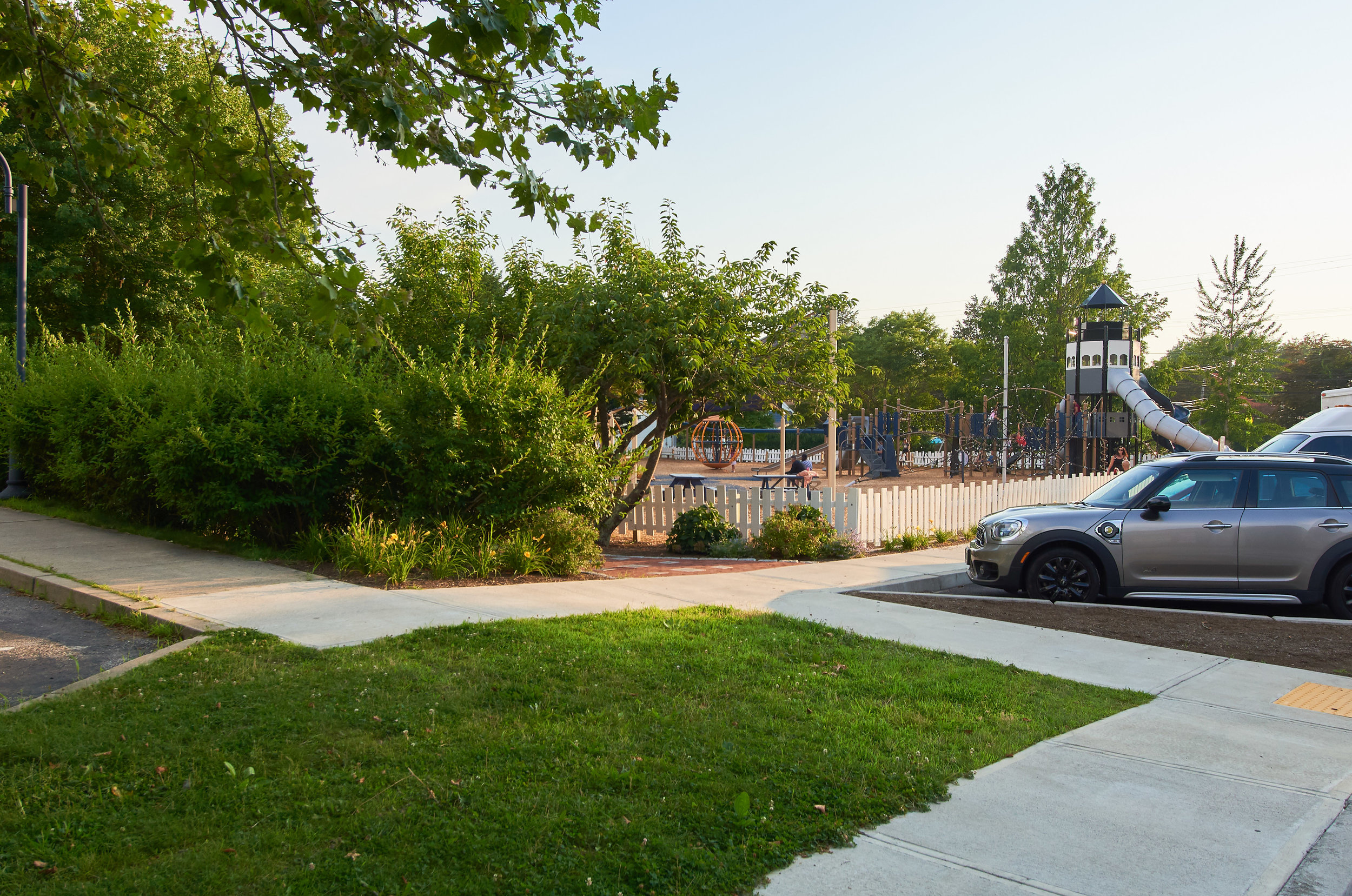
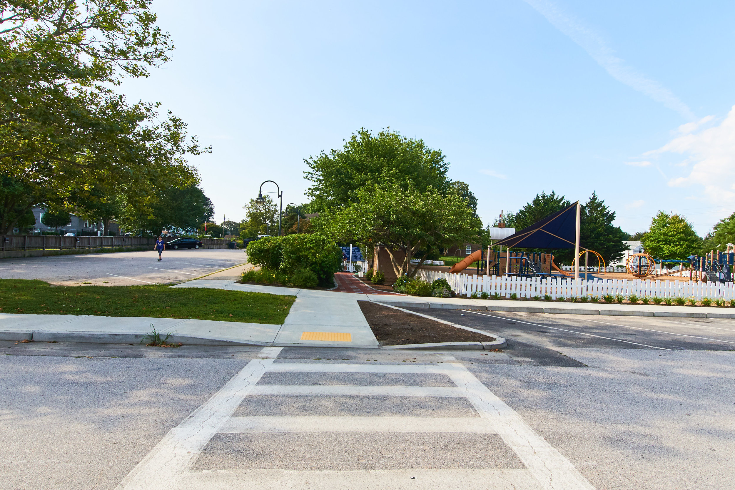
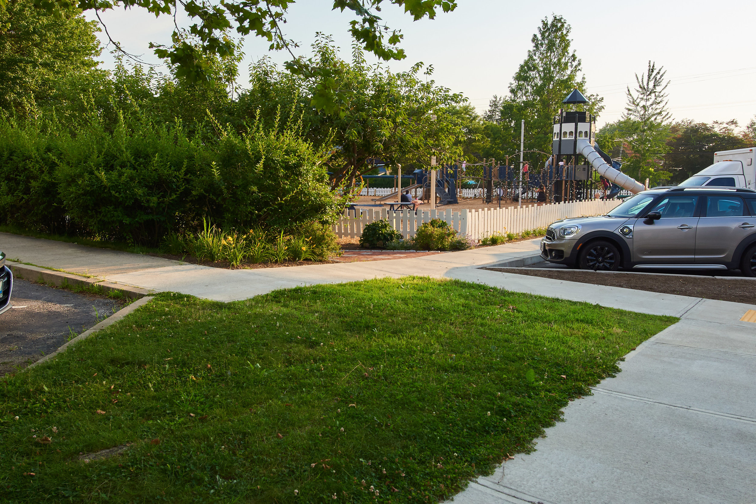
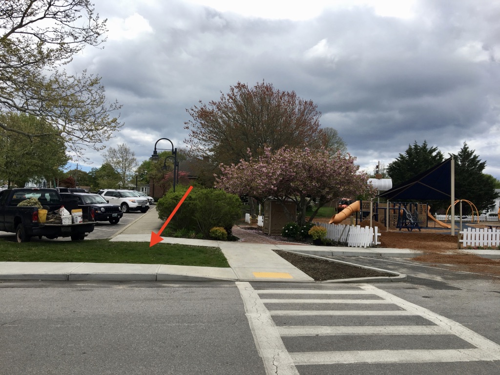
1. Jamestown Community Playground
Town property, adjacent to playground, library and JAC. May be appropriate for an intentionally-functional piece.
Address: Adjacent to library at corner of North Road & Valley Street.
GPS: 41.49825, -71.37398
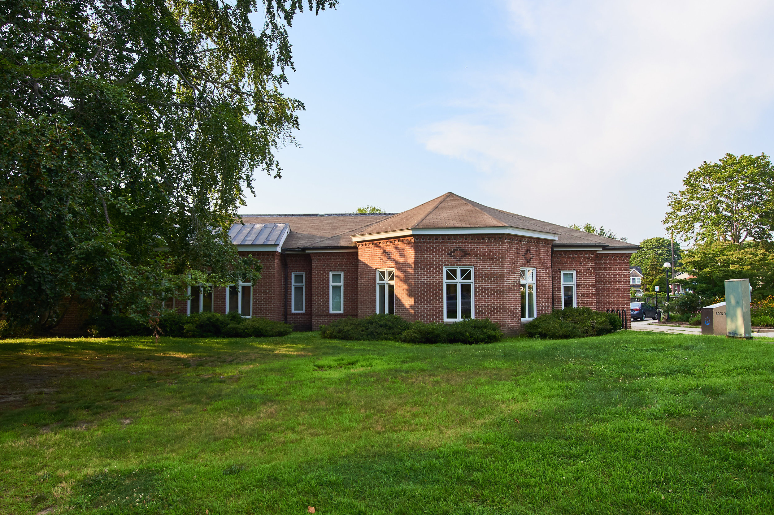
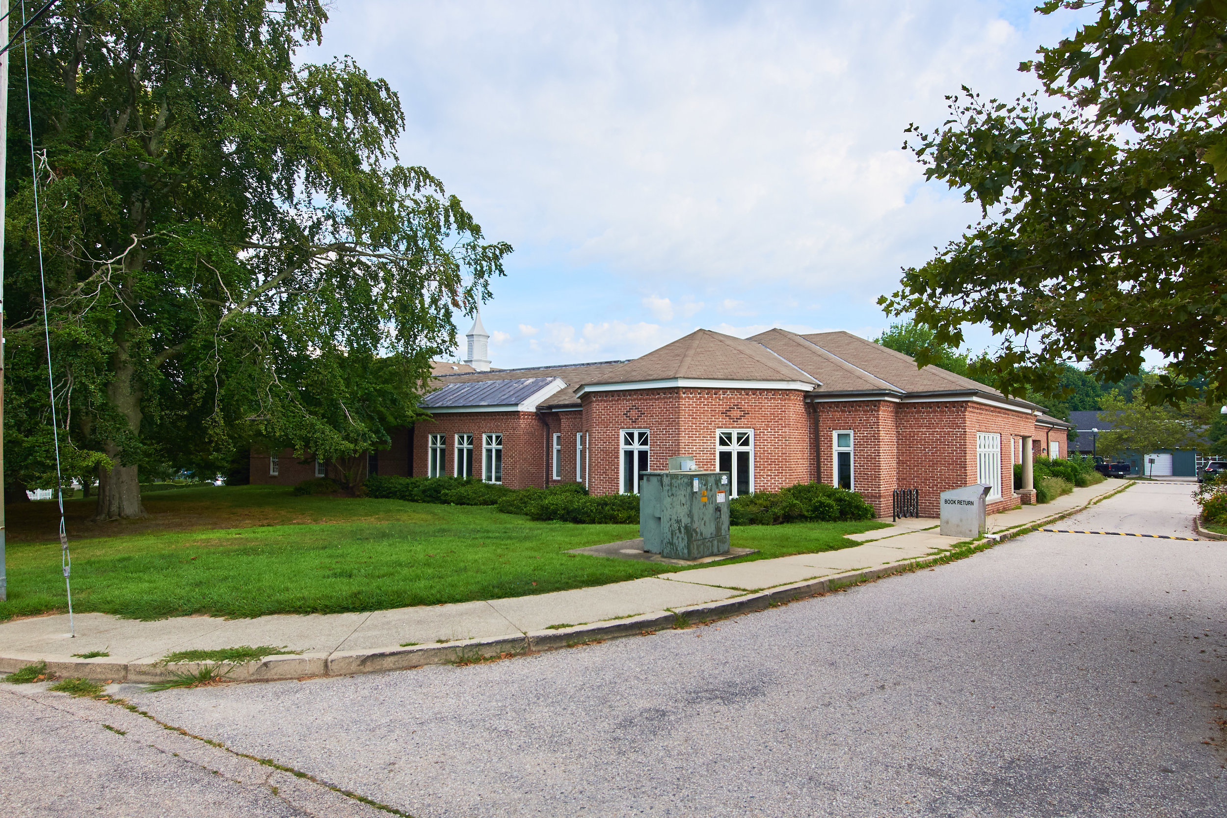
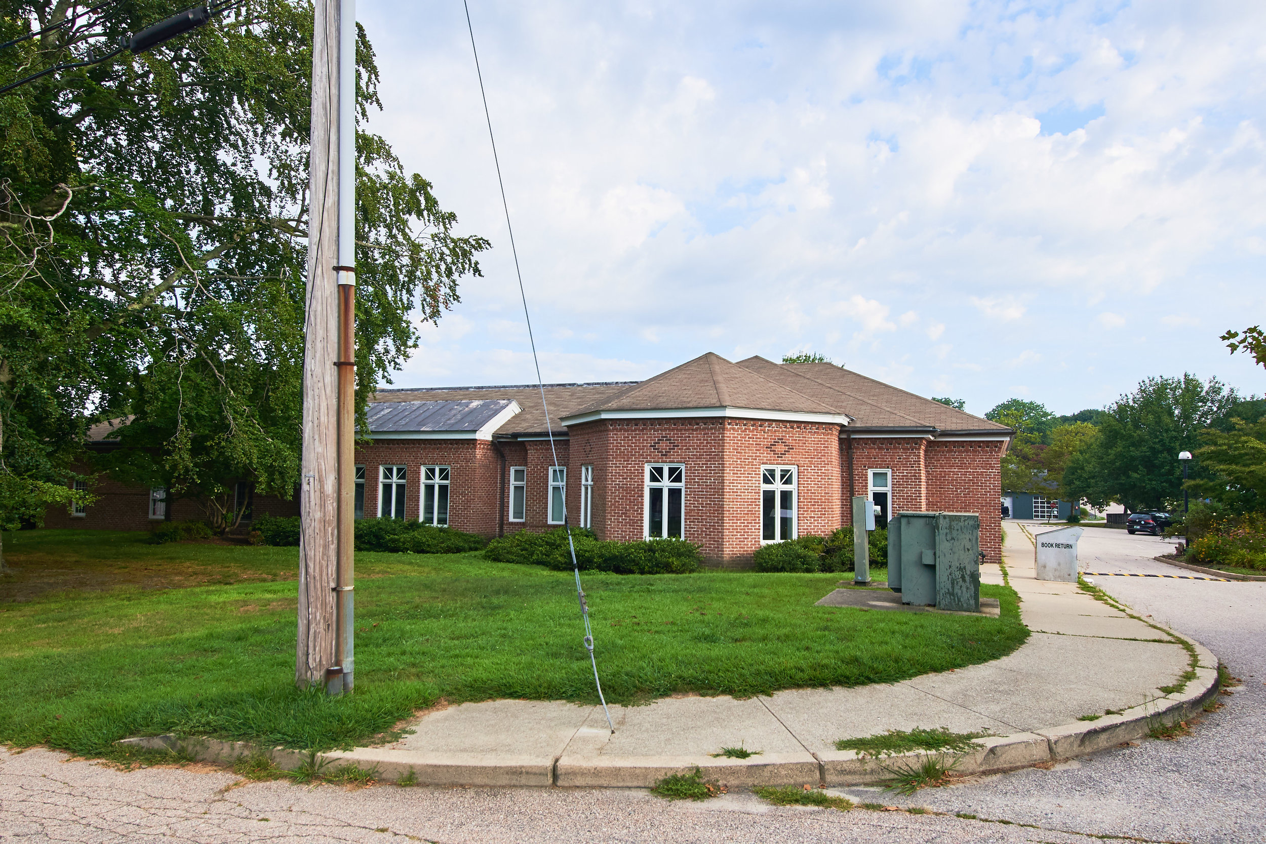
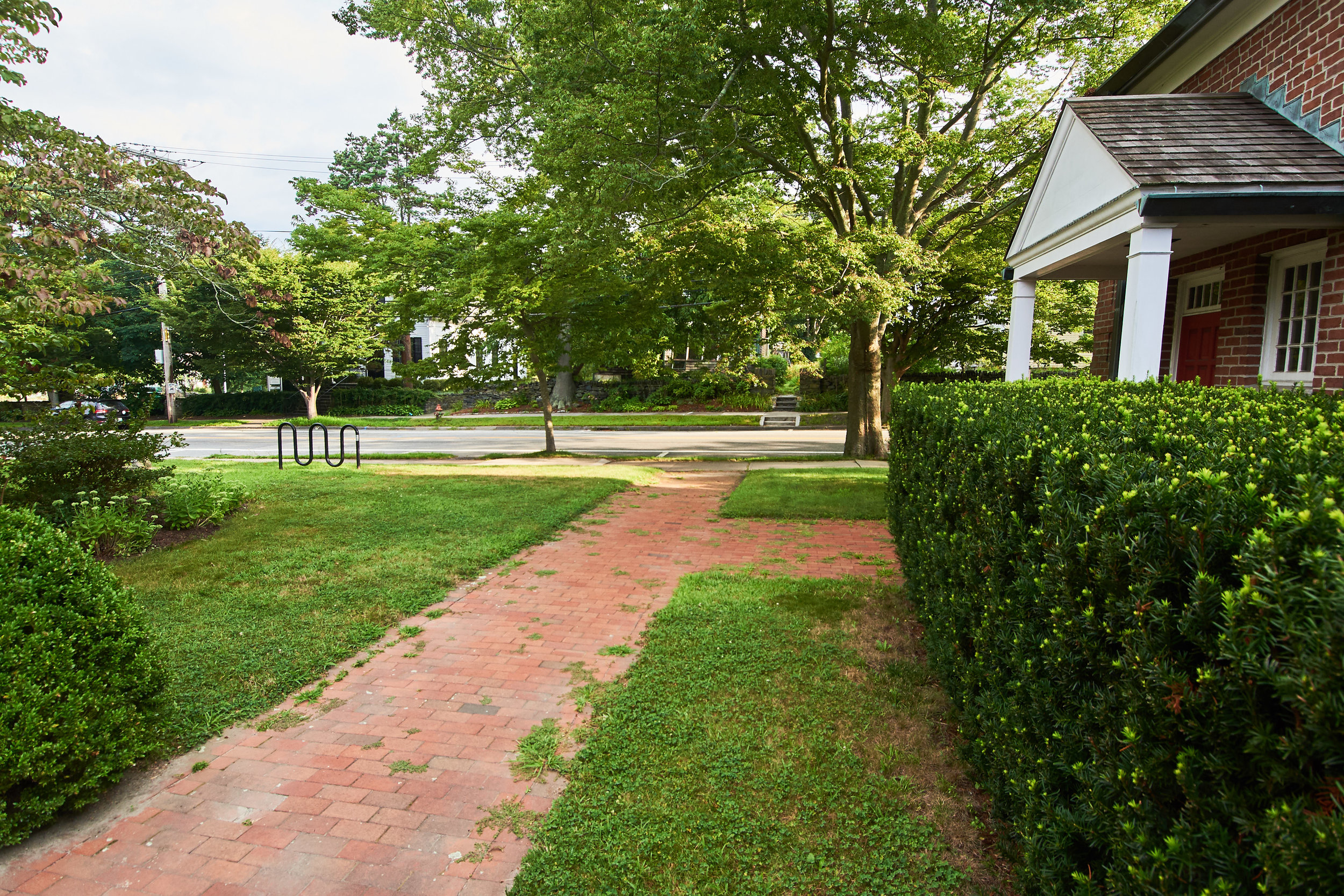
2. Jamestown Philomenian Library
Jointly maintained by Town of Jamestown and Trustees of the Library
Address: 26 North Road, Jamestown, RI 02835: lawn area along Swinburne Street, before library entrance.
GPS: 41.49734, -71.37403
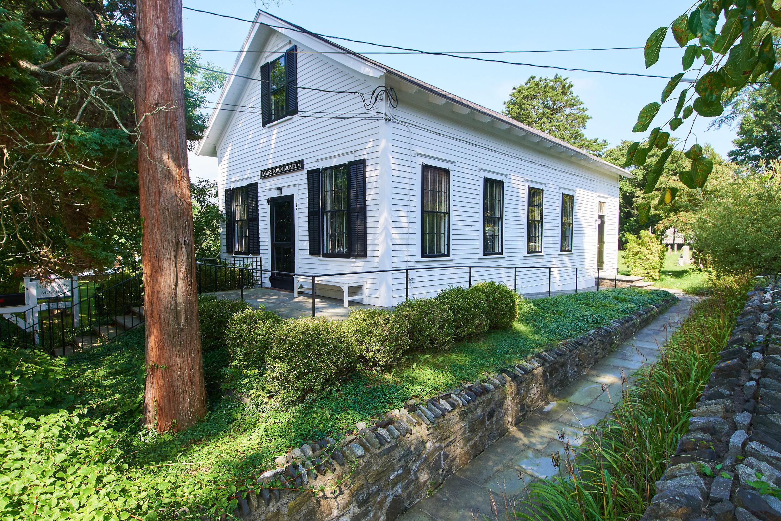
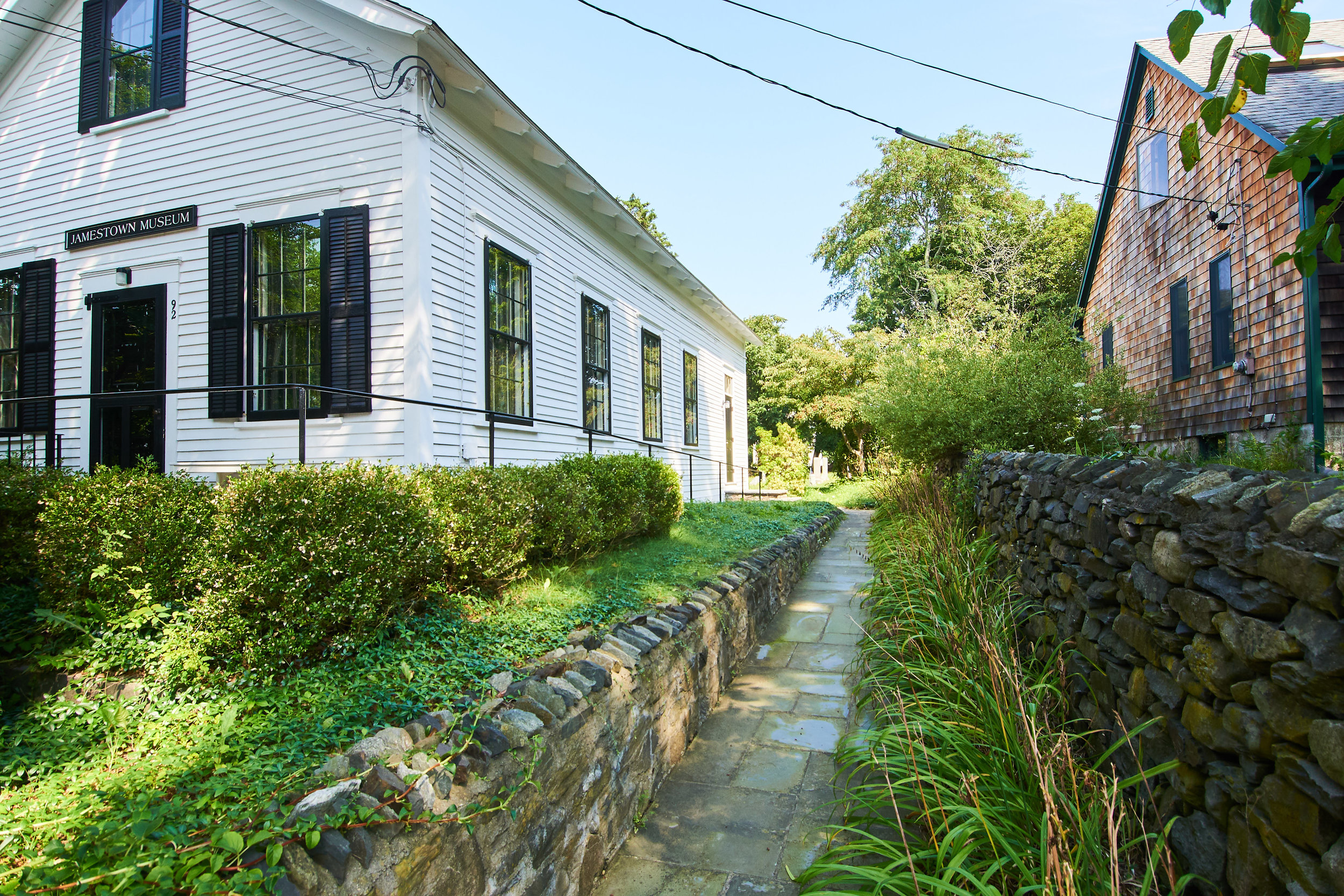
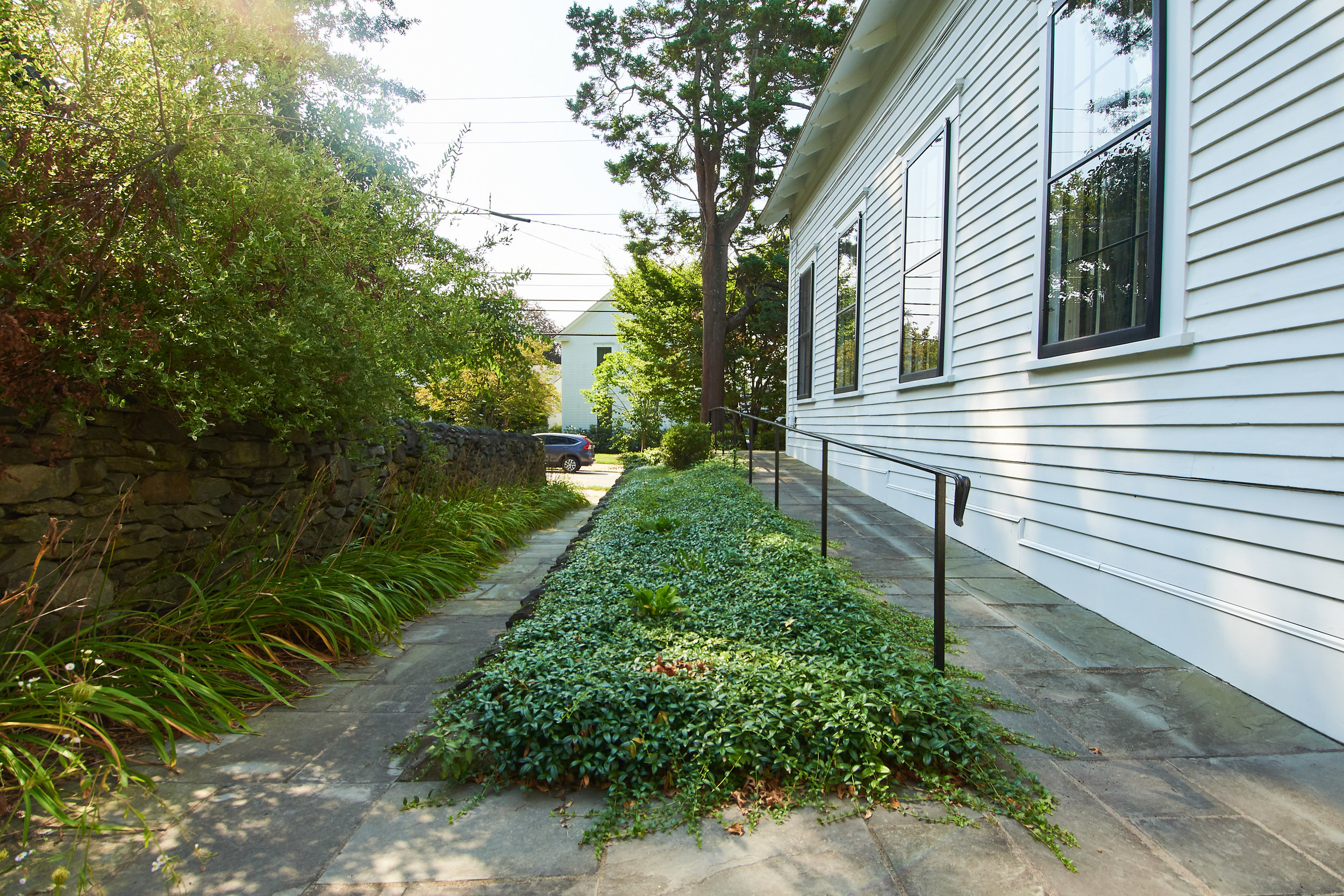
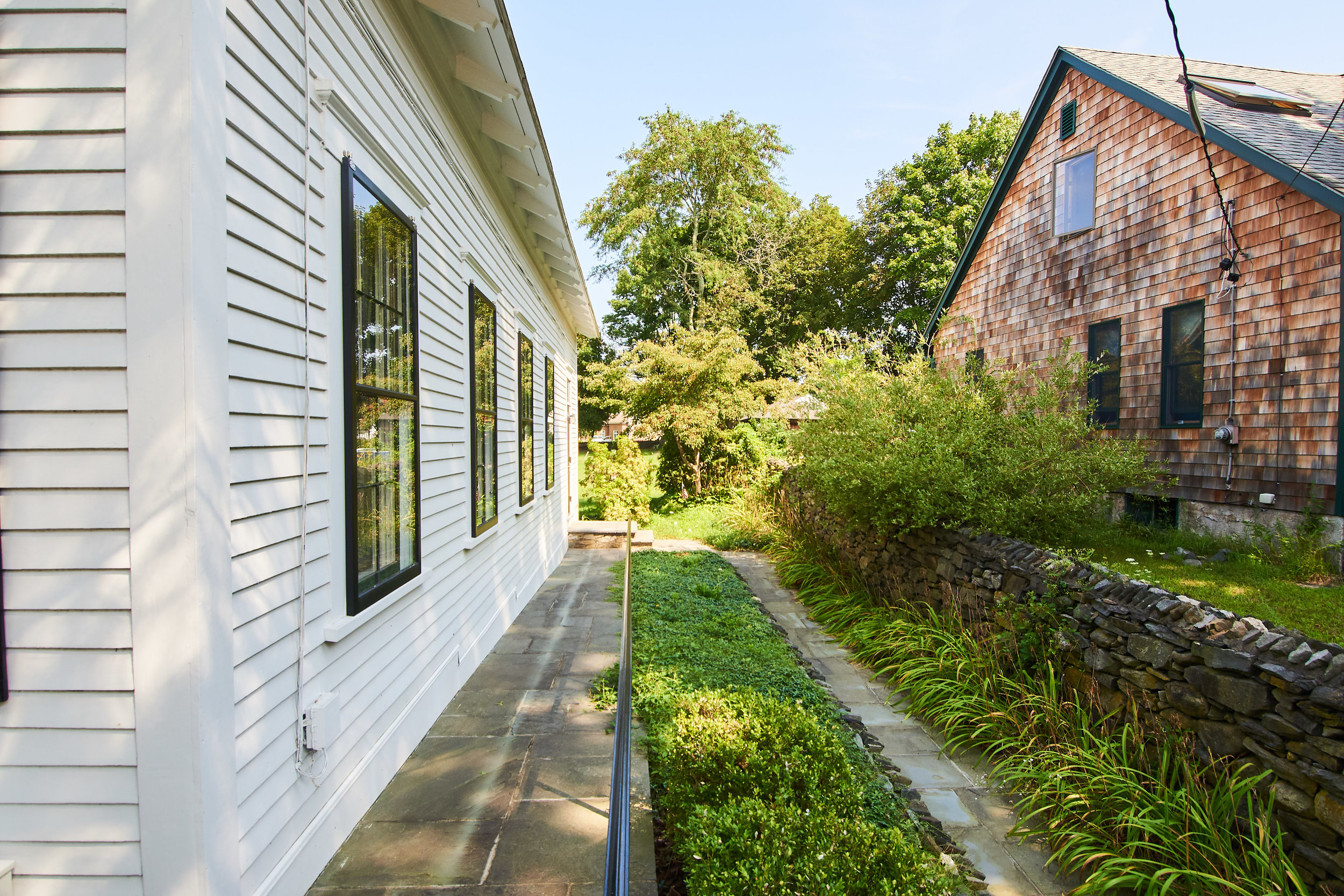
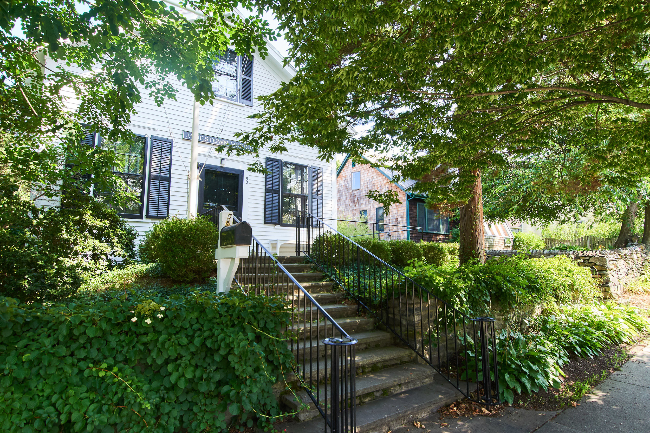
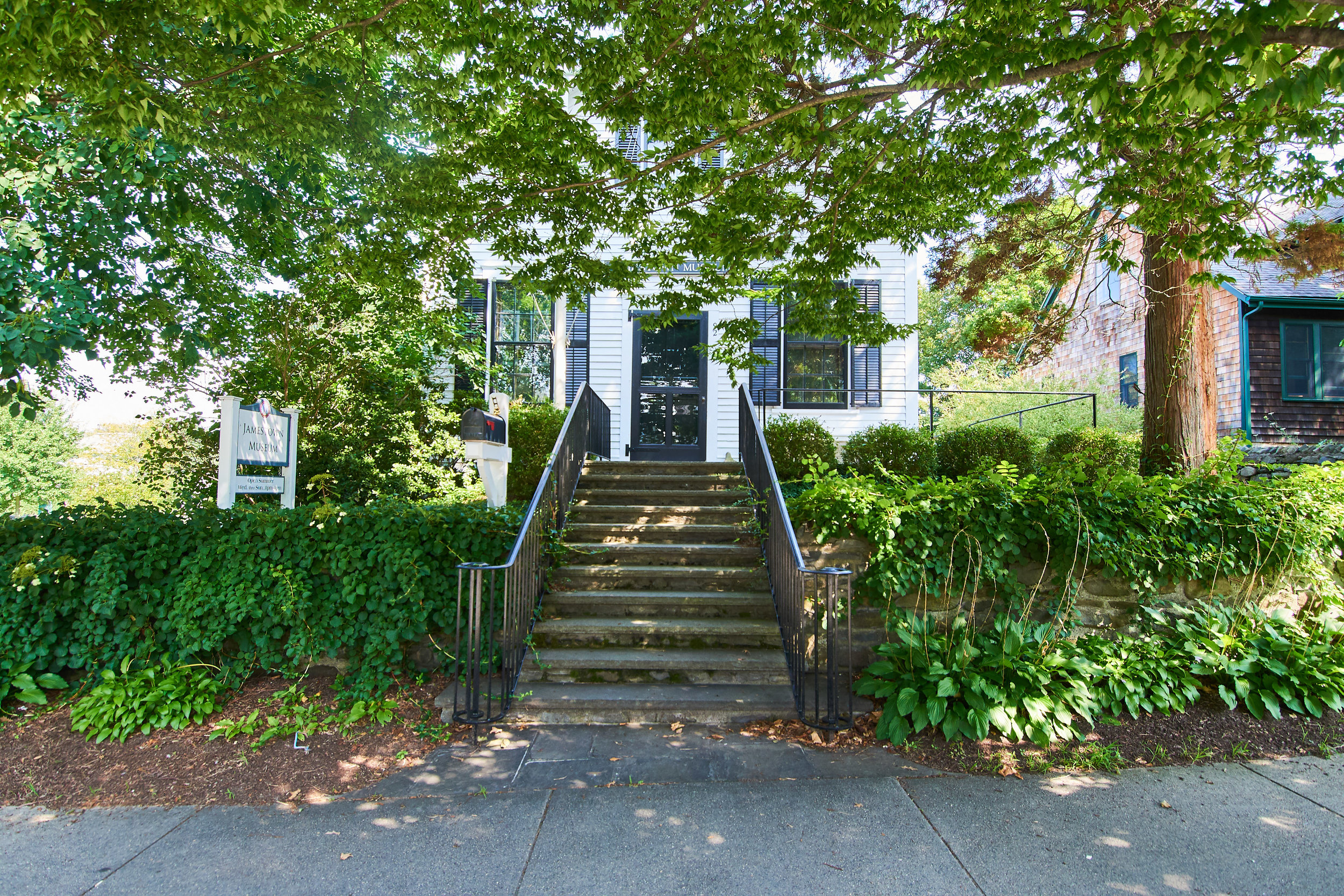
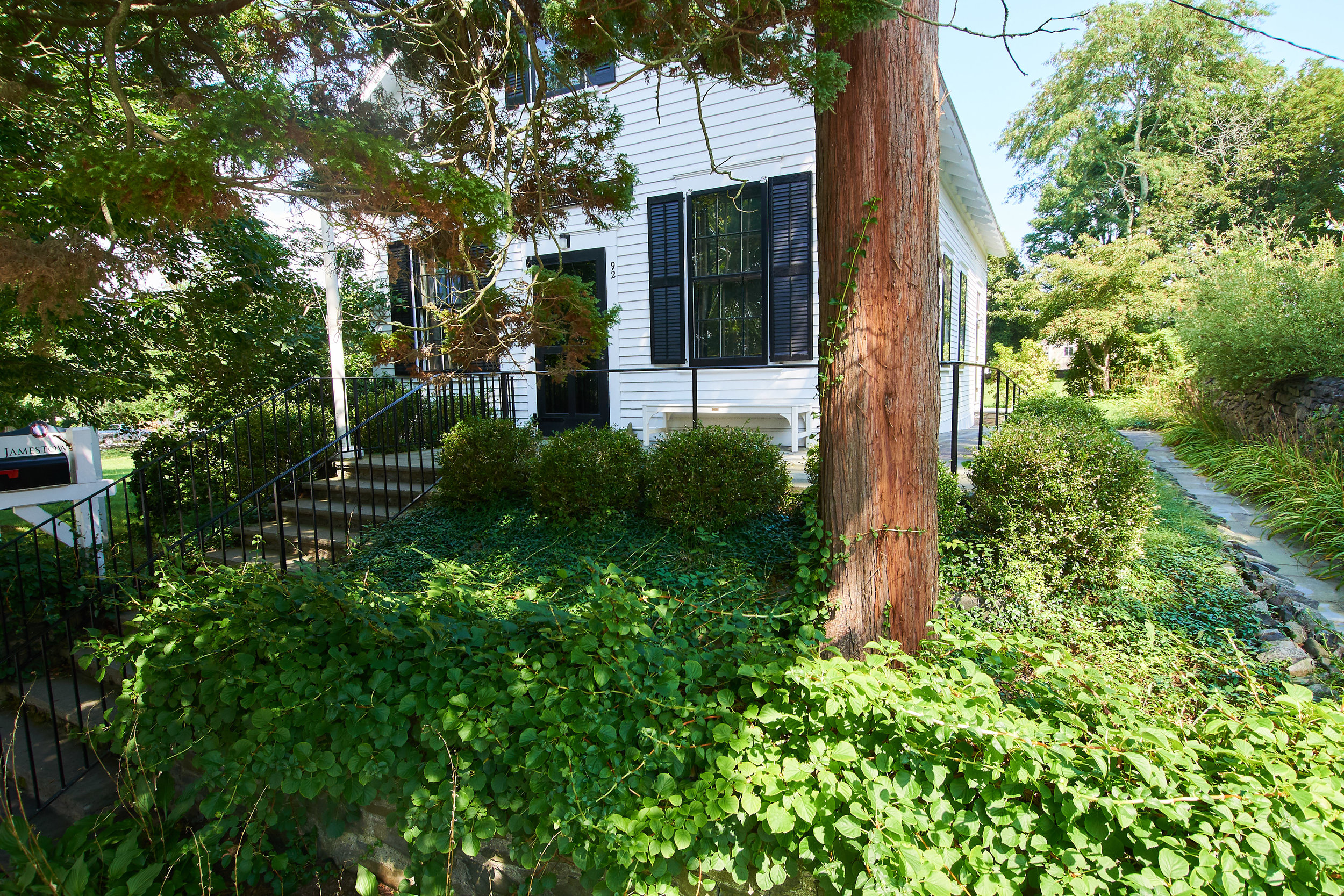
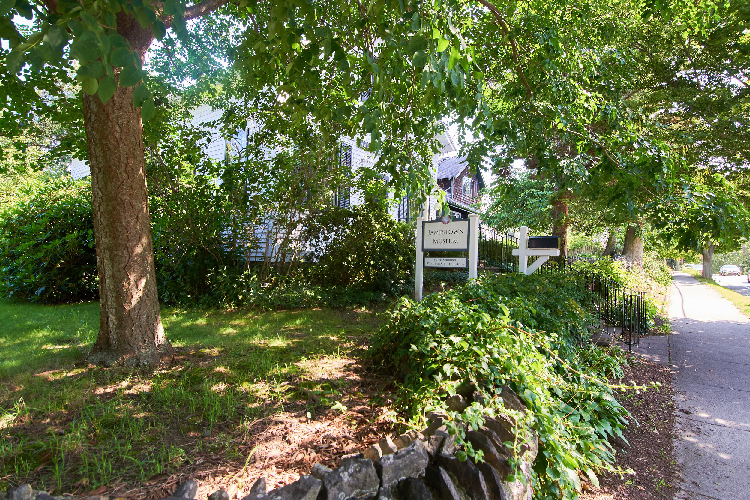
3. Jamestown Museum
Jointly maintained by Jamestown Historical Society & Town of Jamestown. Any installation can not interfere with ADA- accessible ramp & access. May be suitable for smaller-scale works, installation in garden areas possible especially between driveway & ramp.
Address: 92 Narragansett Avenue.
GPS: 41.49635, -71.37406

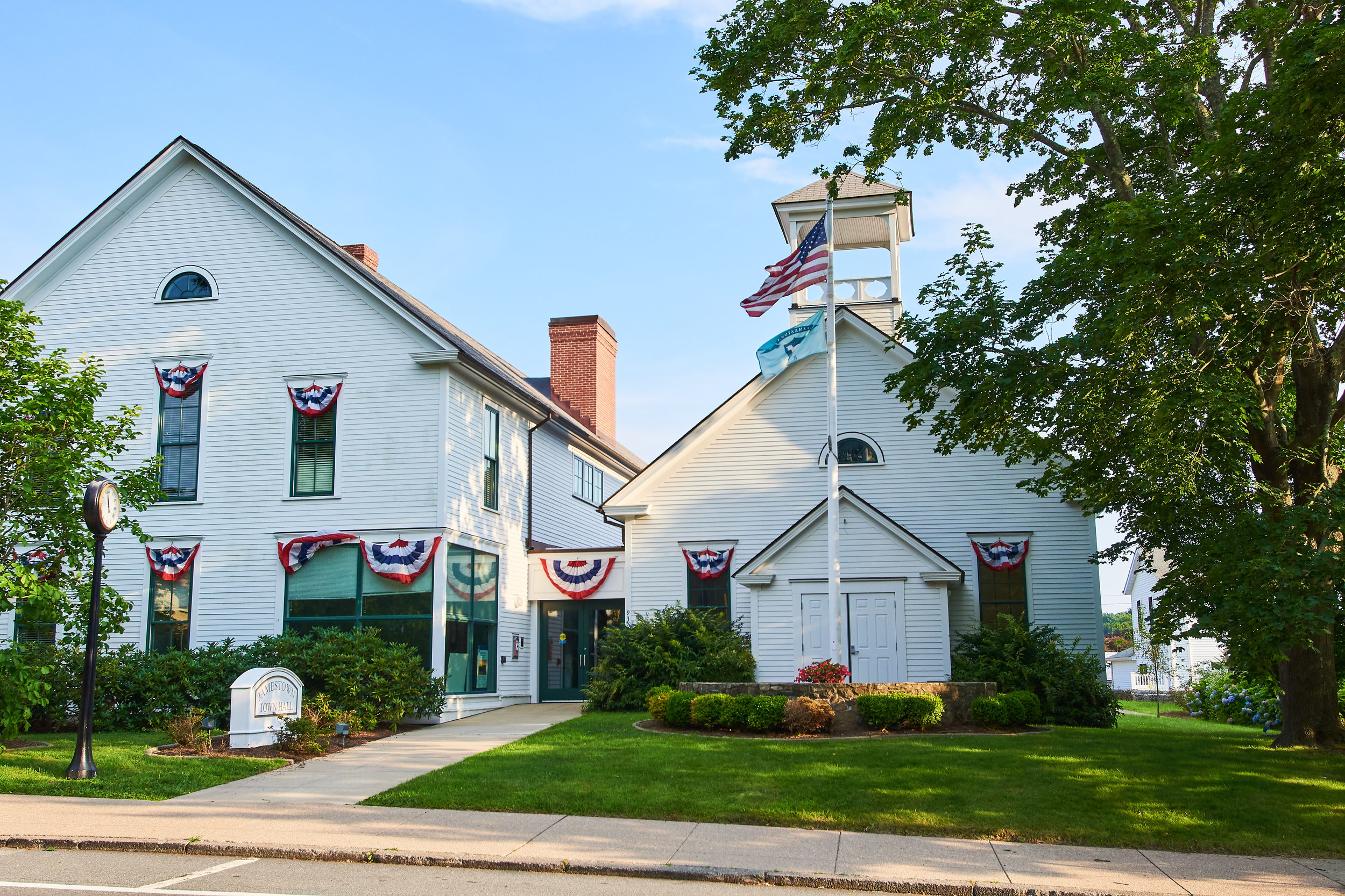
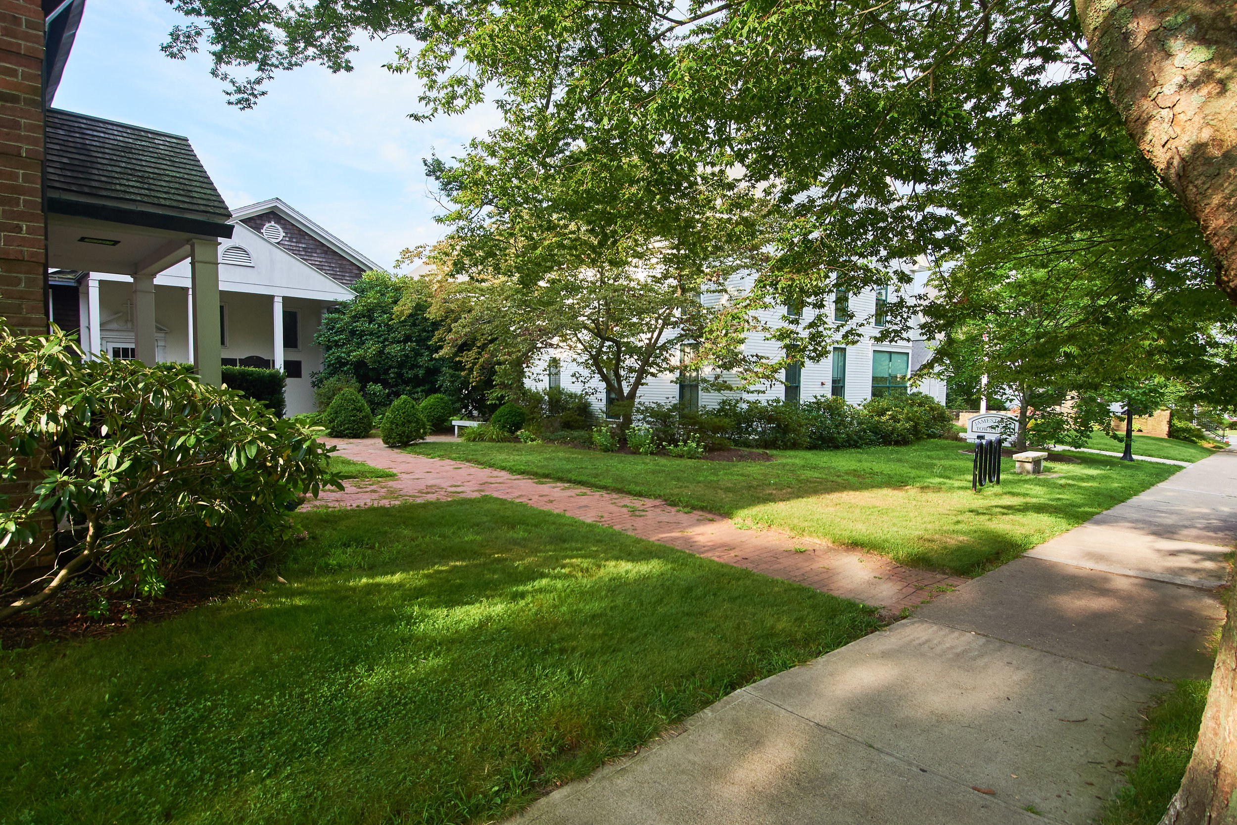
4. Town Hall
Front lawn where Town Hall property faces Narragansett Avenue. Fully ADA accessible, parking available along street and also in lot behind Town Hall.
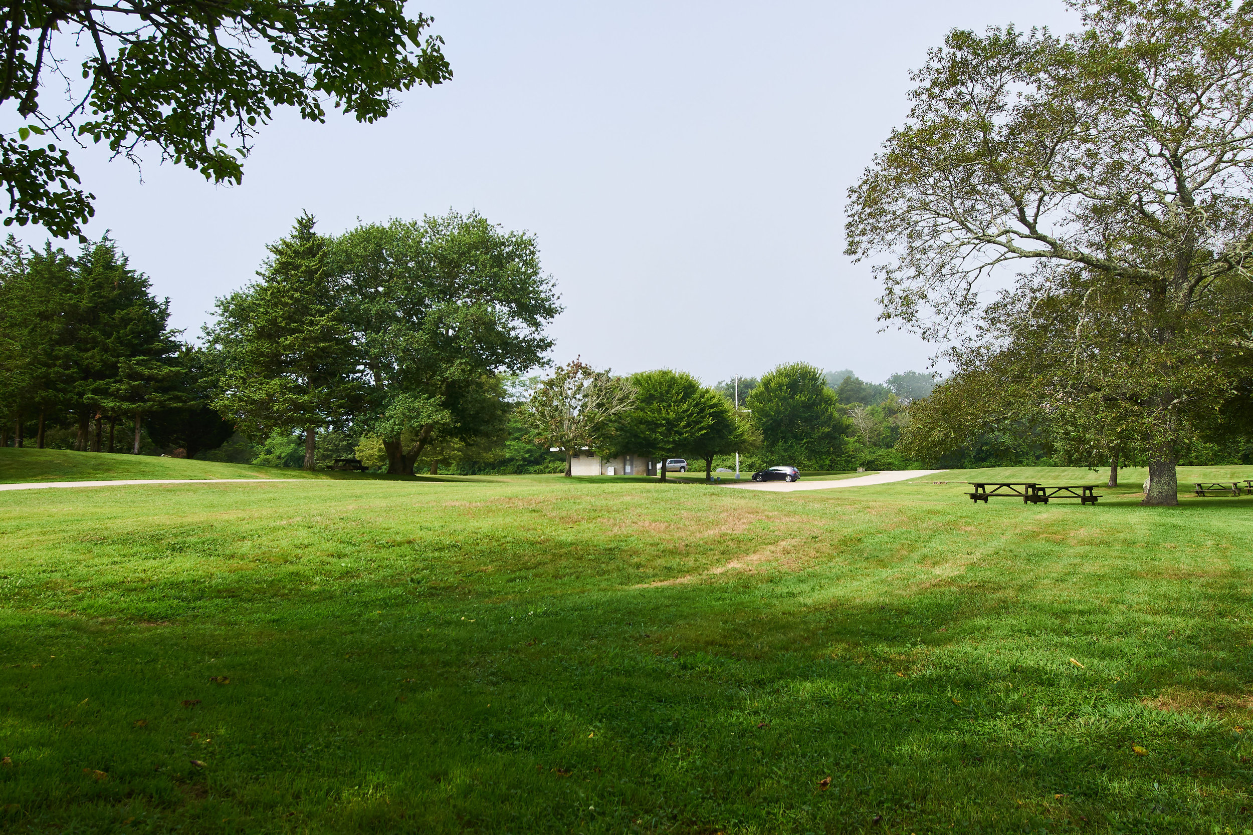
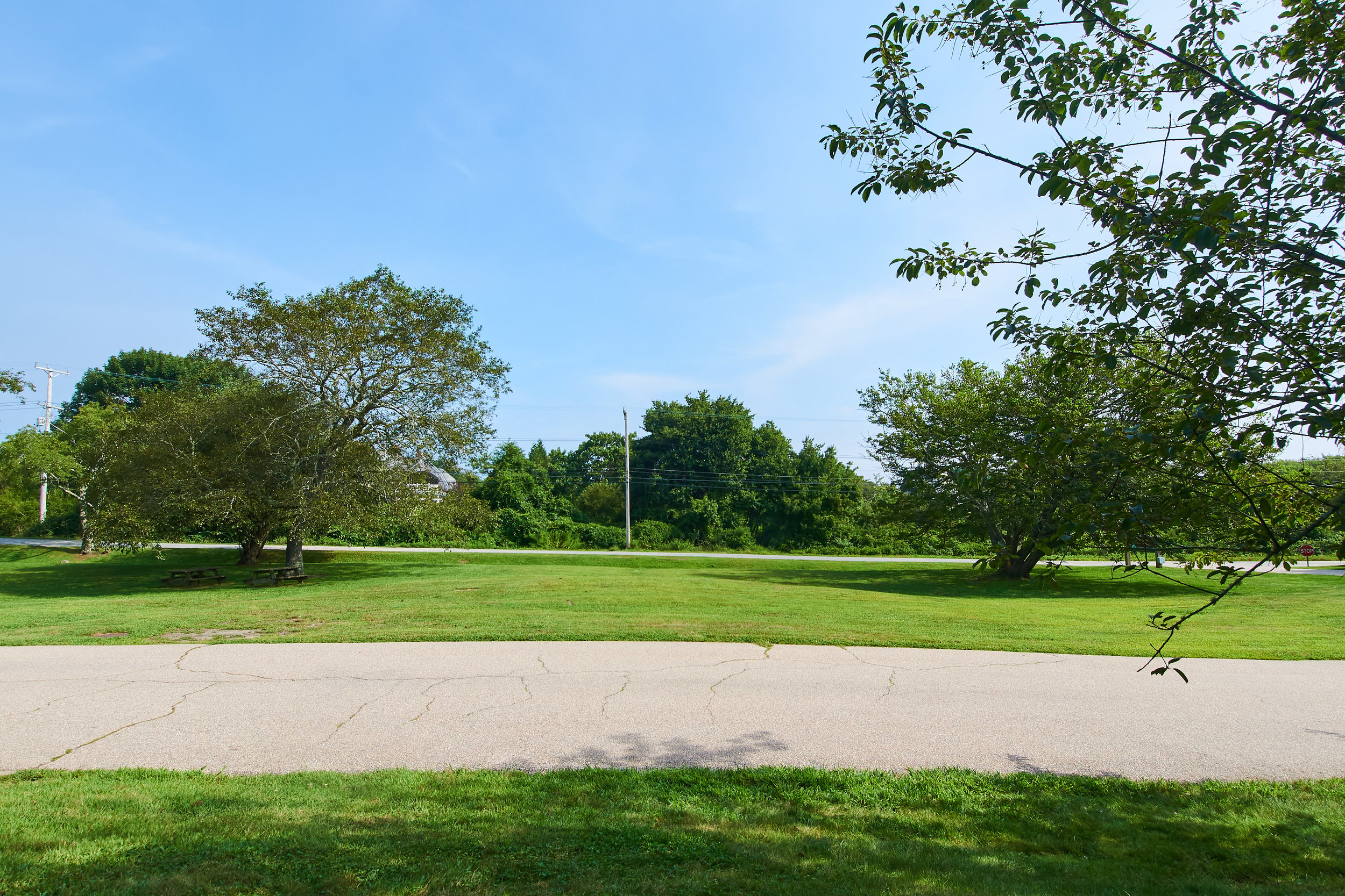
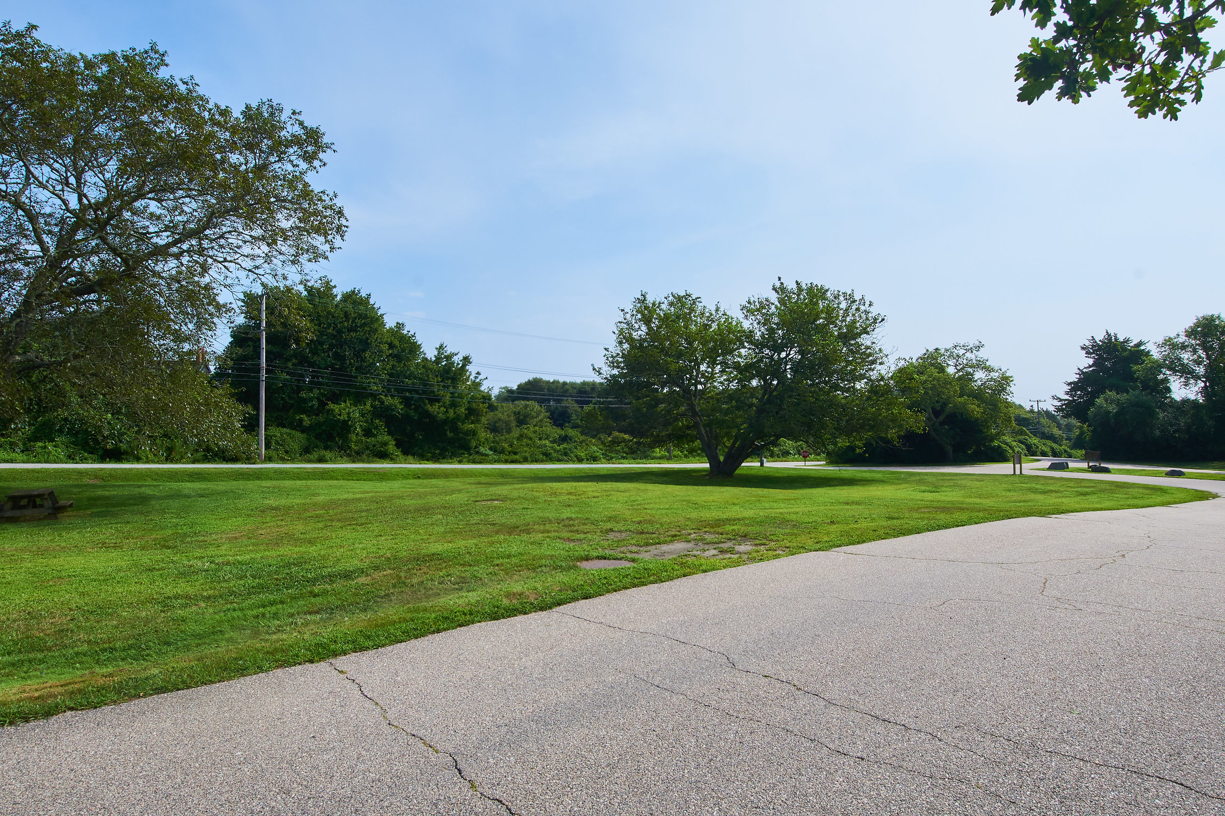
Address: 93 Narragansett Avenue
GPS: 41.49606, -71.37411
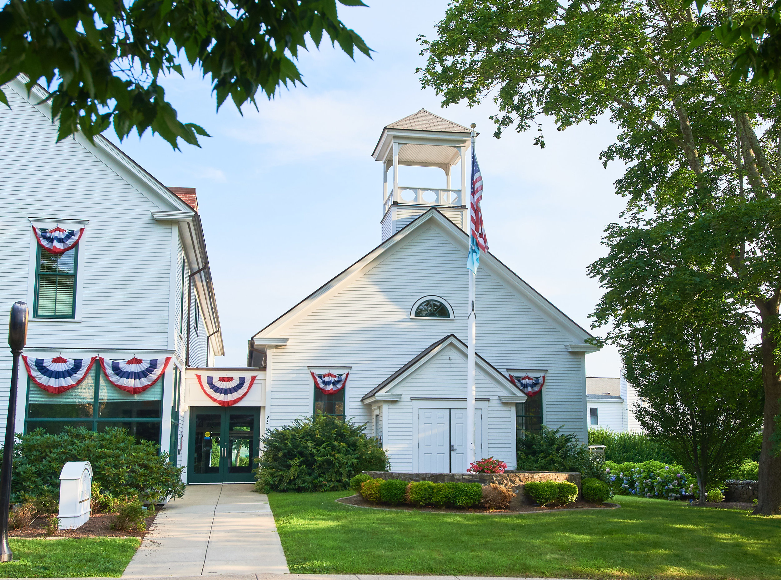
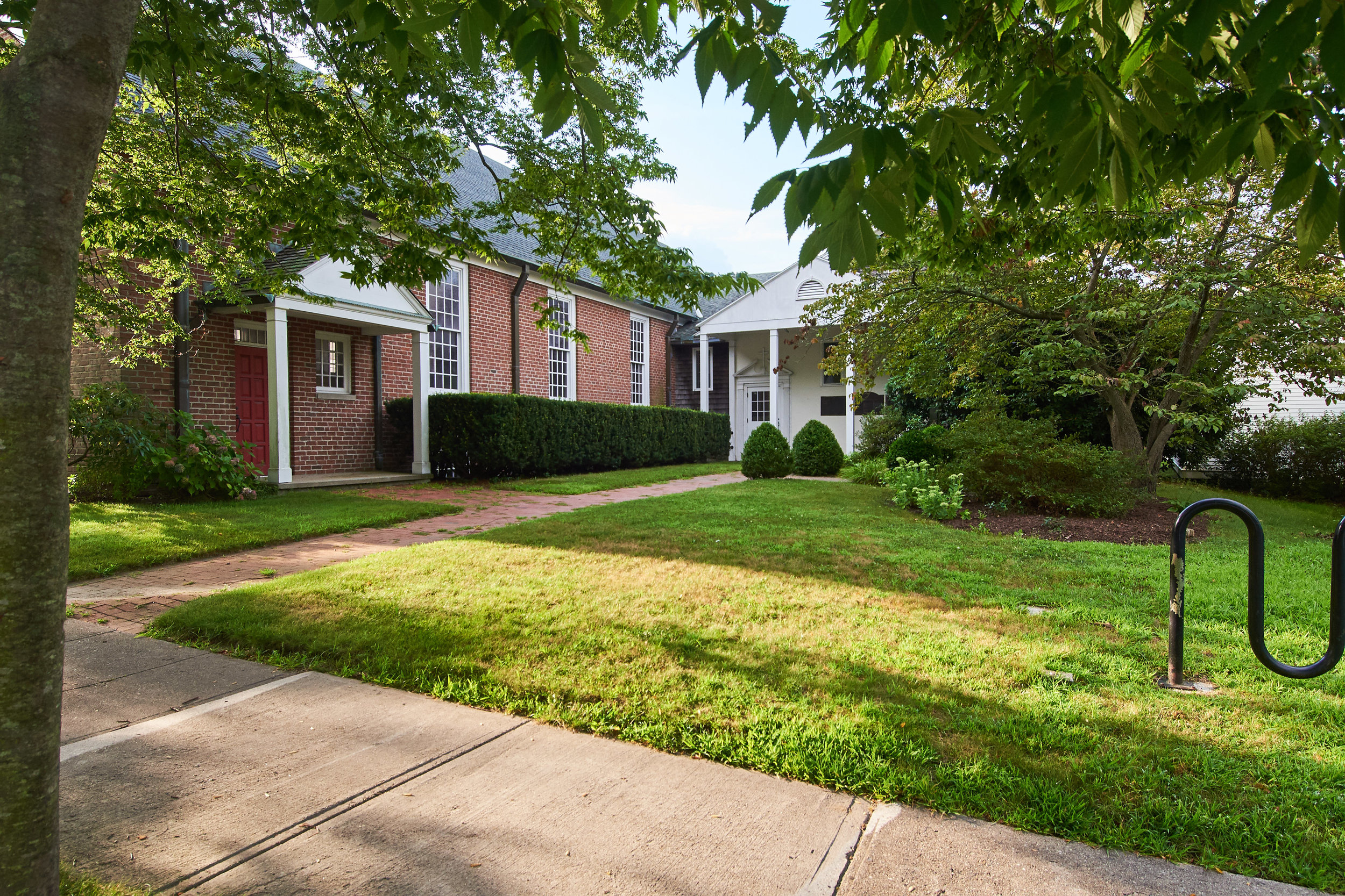
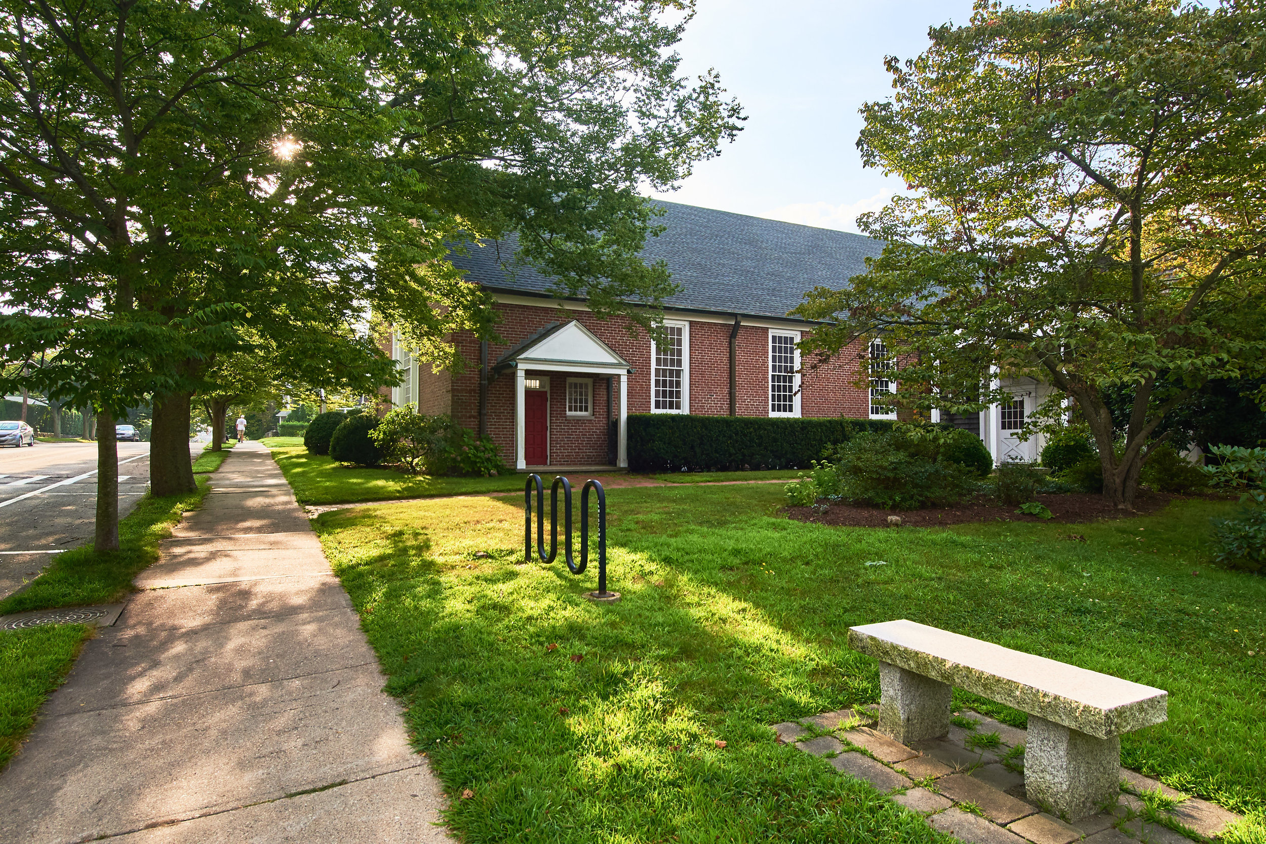
5. St. Matthew’s Church
Front lawn area facing Narragansett Avenue. Fully ADA Accessible. Parking available along street and also in lot behind Town Hall. Within church property any installation must sit on top of lawn, no digging allowed.
Address: 87 Narragansett Avenue
GPS: 41.49608, -71.37381
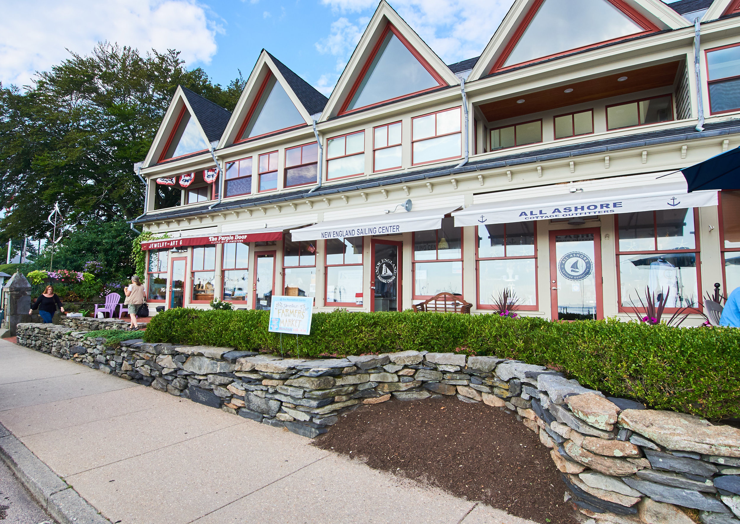
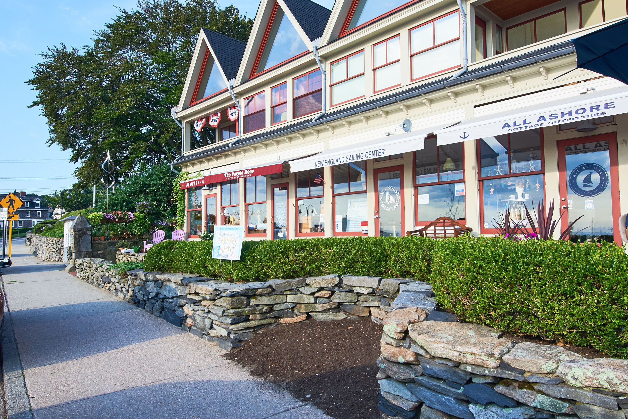
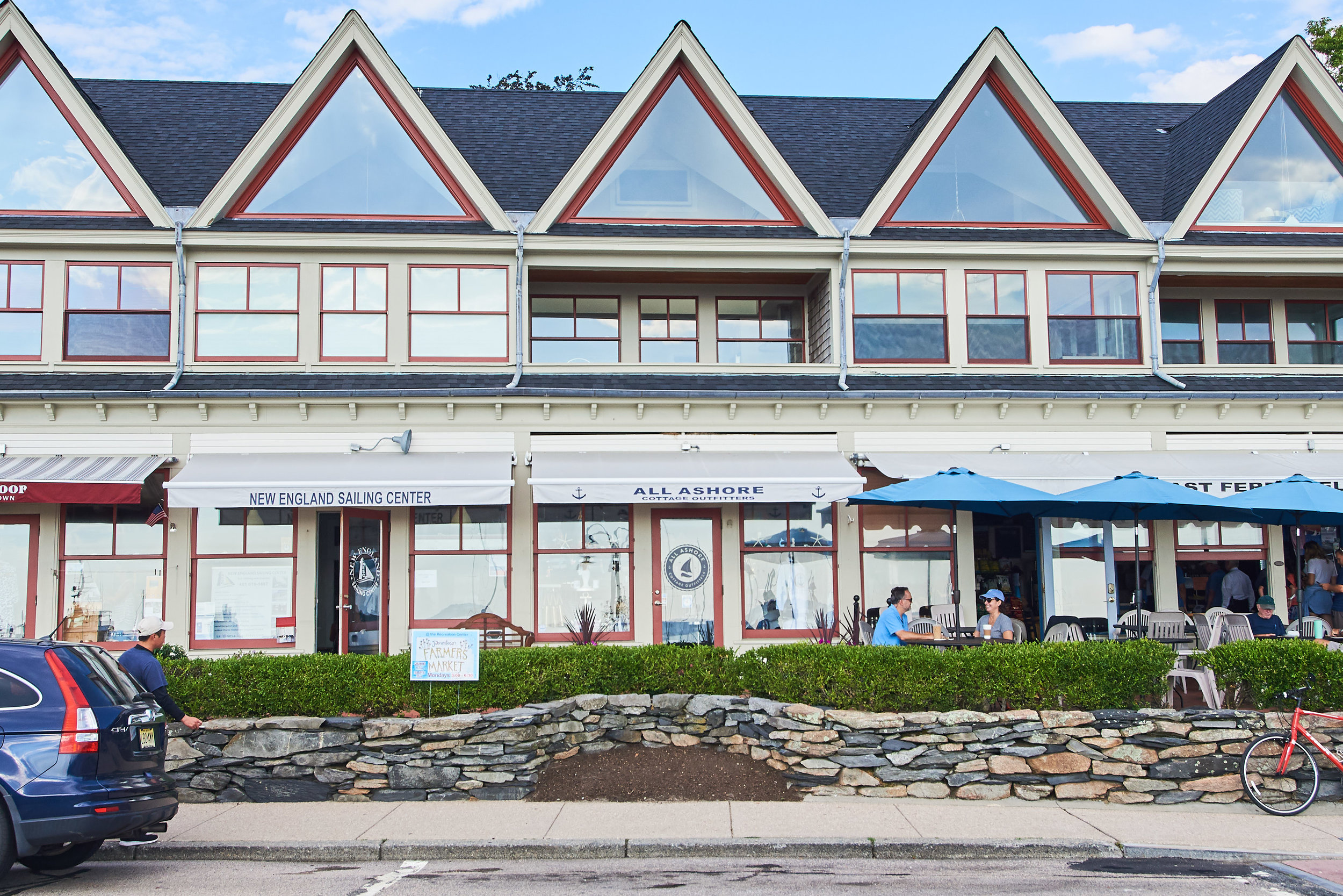
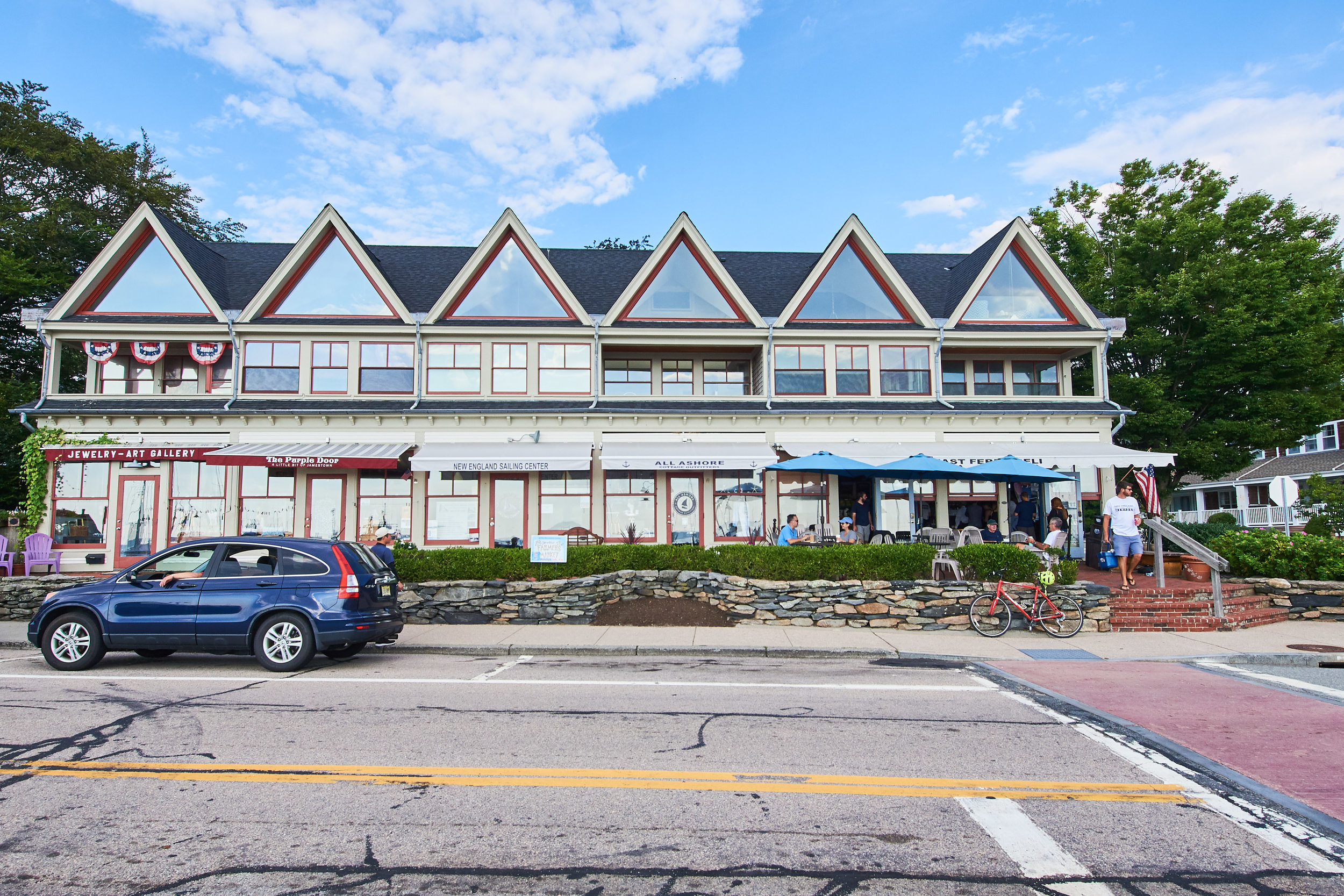
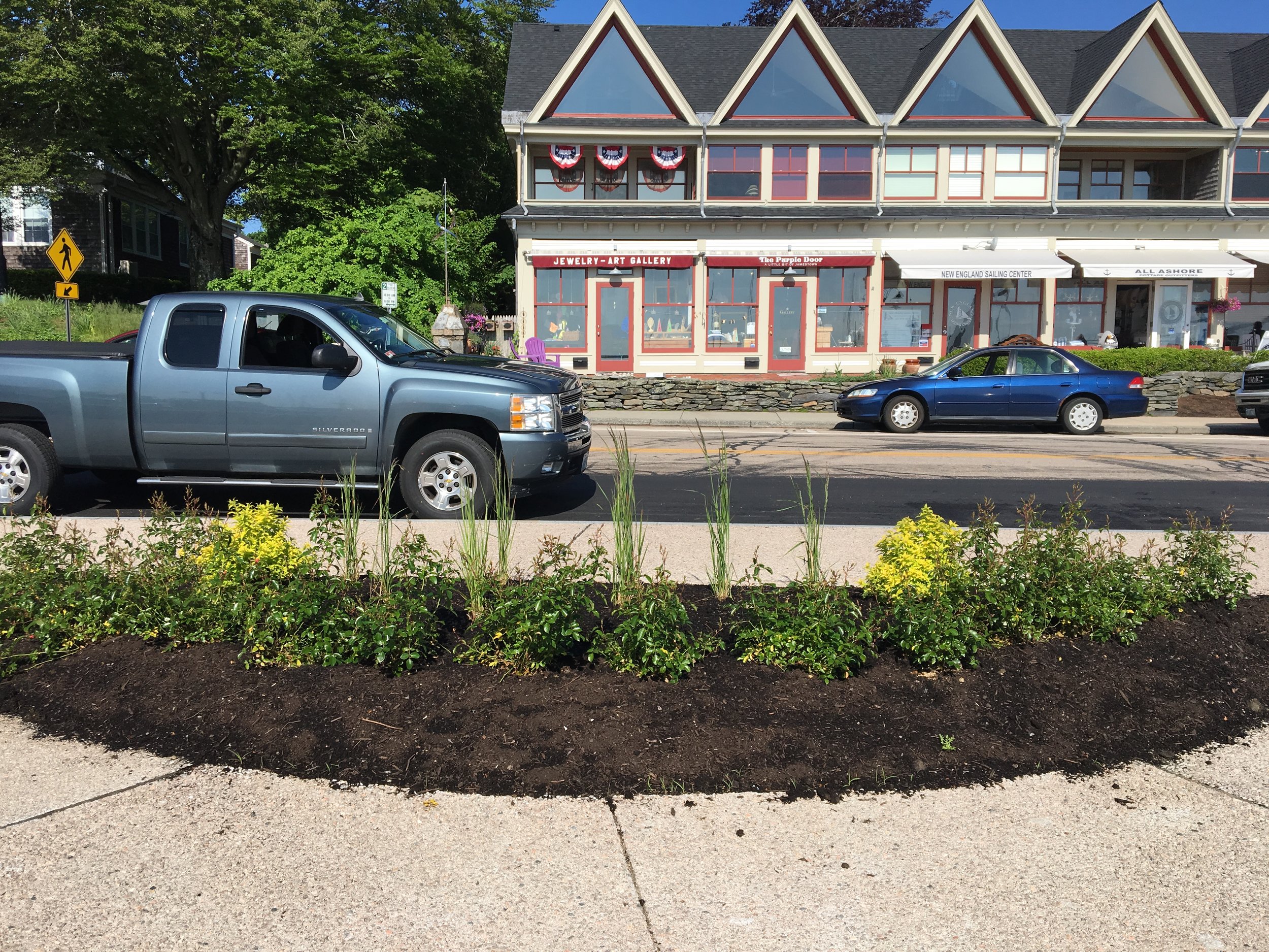
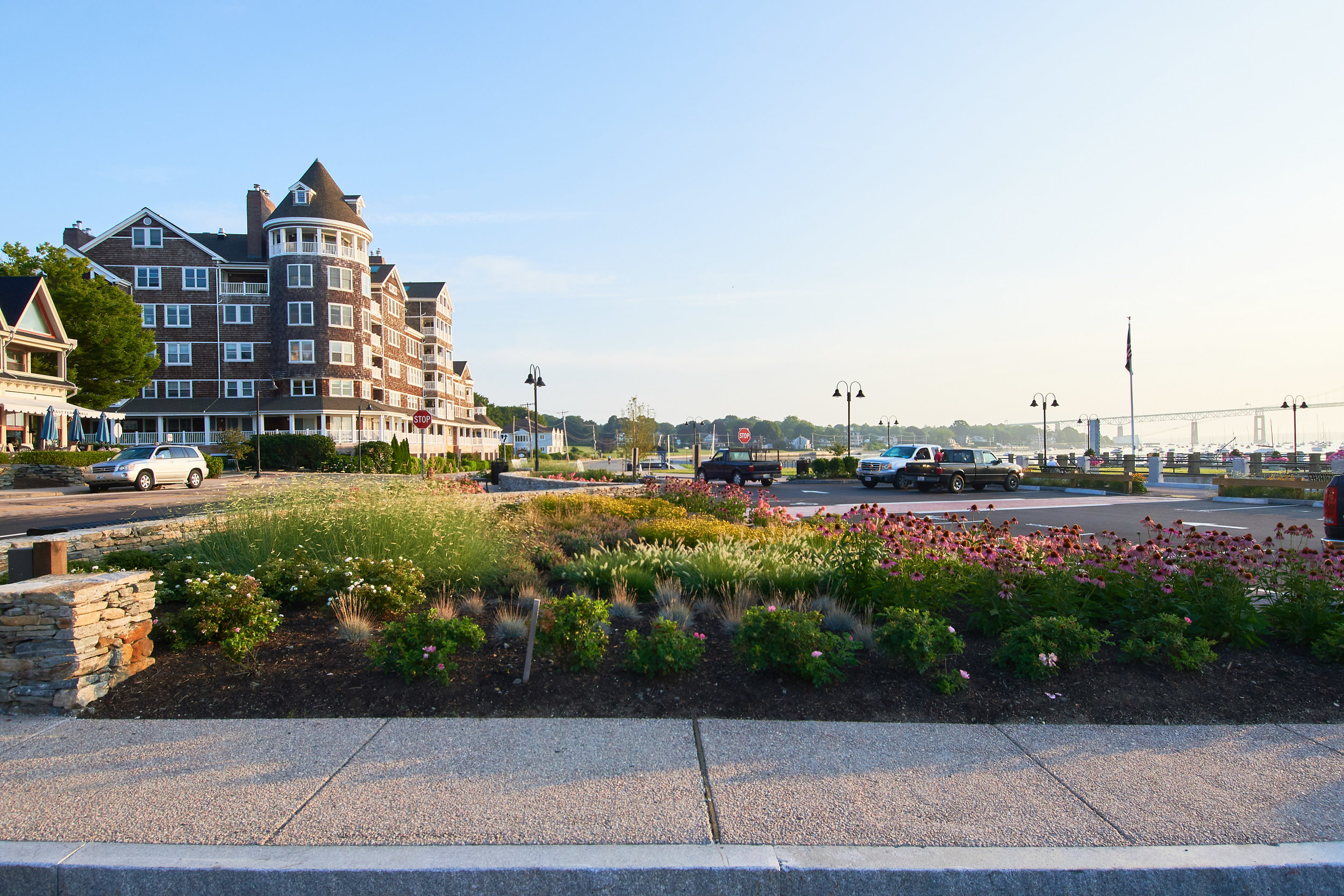
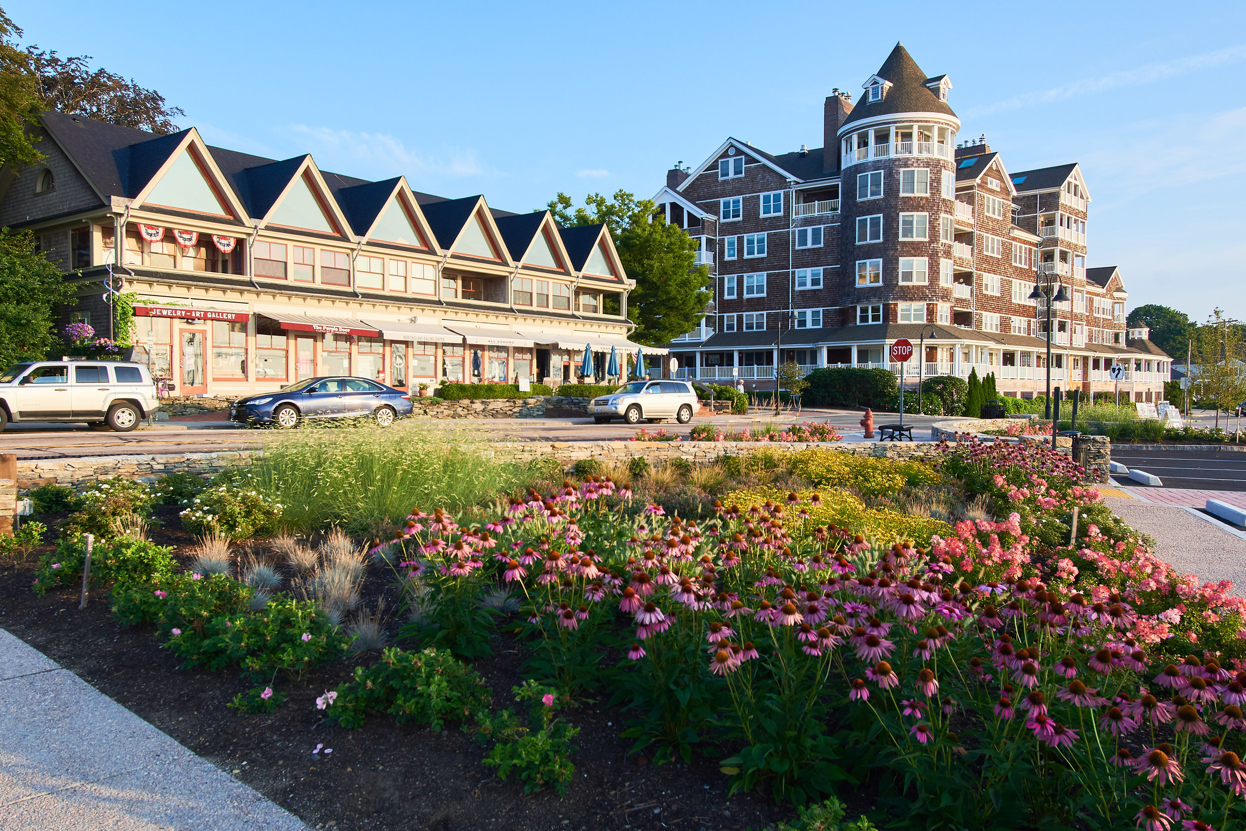
6. East Ferry Condominium Association, stone wall niche
In partnership with East Ferry Condo Association, empty niche along sidewalk & stonewall where tree was removed.
Address: 47 Conanicus Avenue
GPS: 41.49613, -71.36731
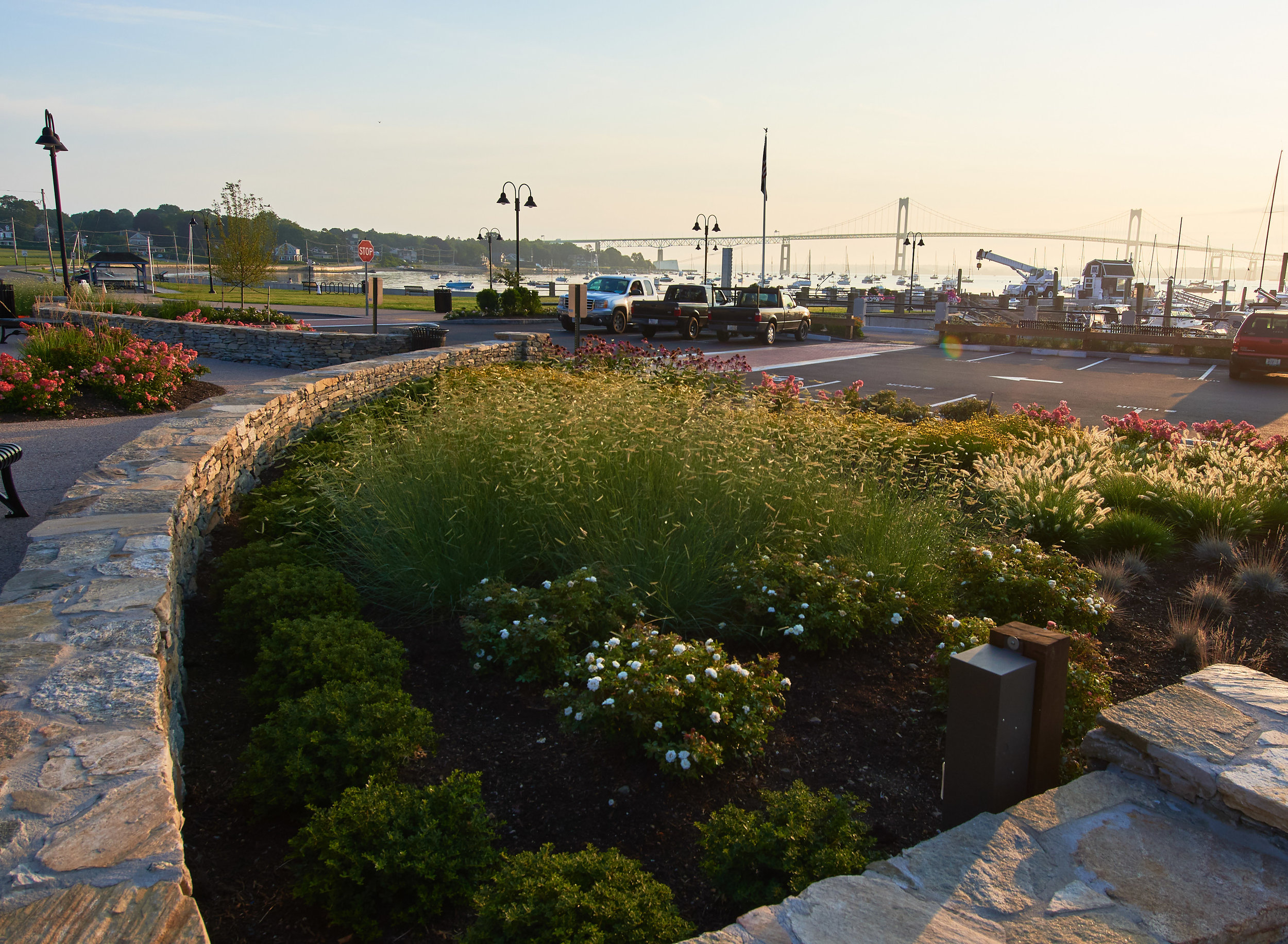
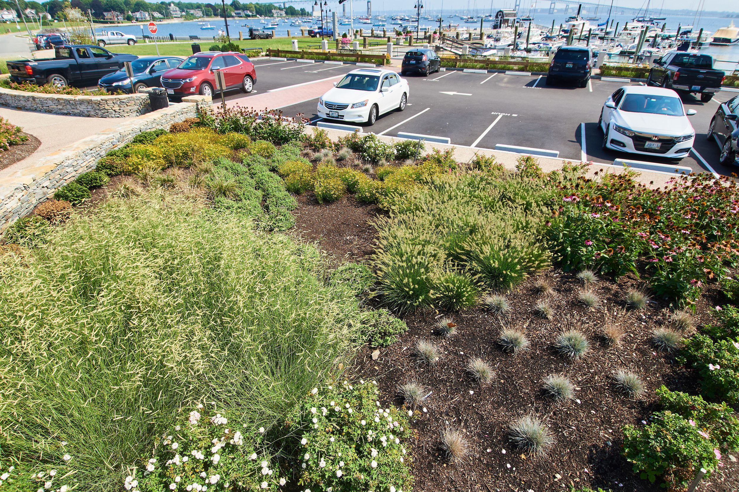
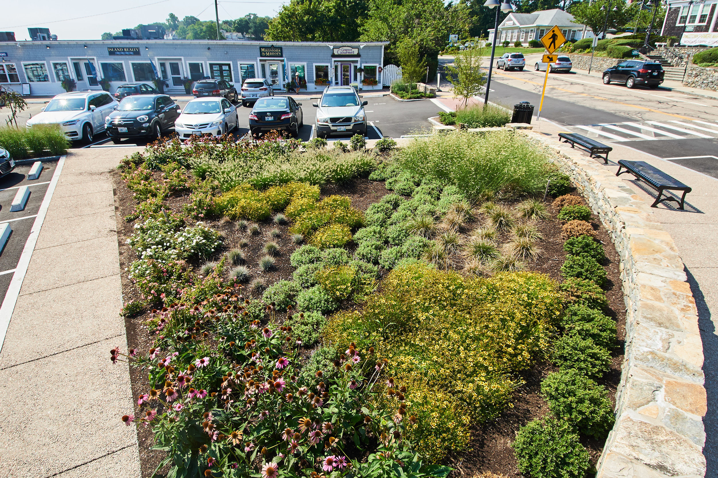
7. East Ferry common area, small crescent garden
Several possible locations within newly reconfigured public spaces, including small crescent garden facing Conanicus Ave. Town of Jamestown property.
Address: Intersection of Conanicus & Narragansett Avenues
GPS: 41.49606, -71.36712
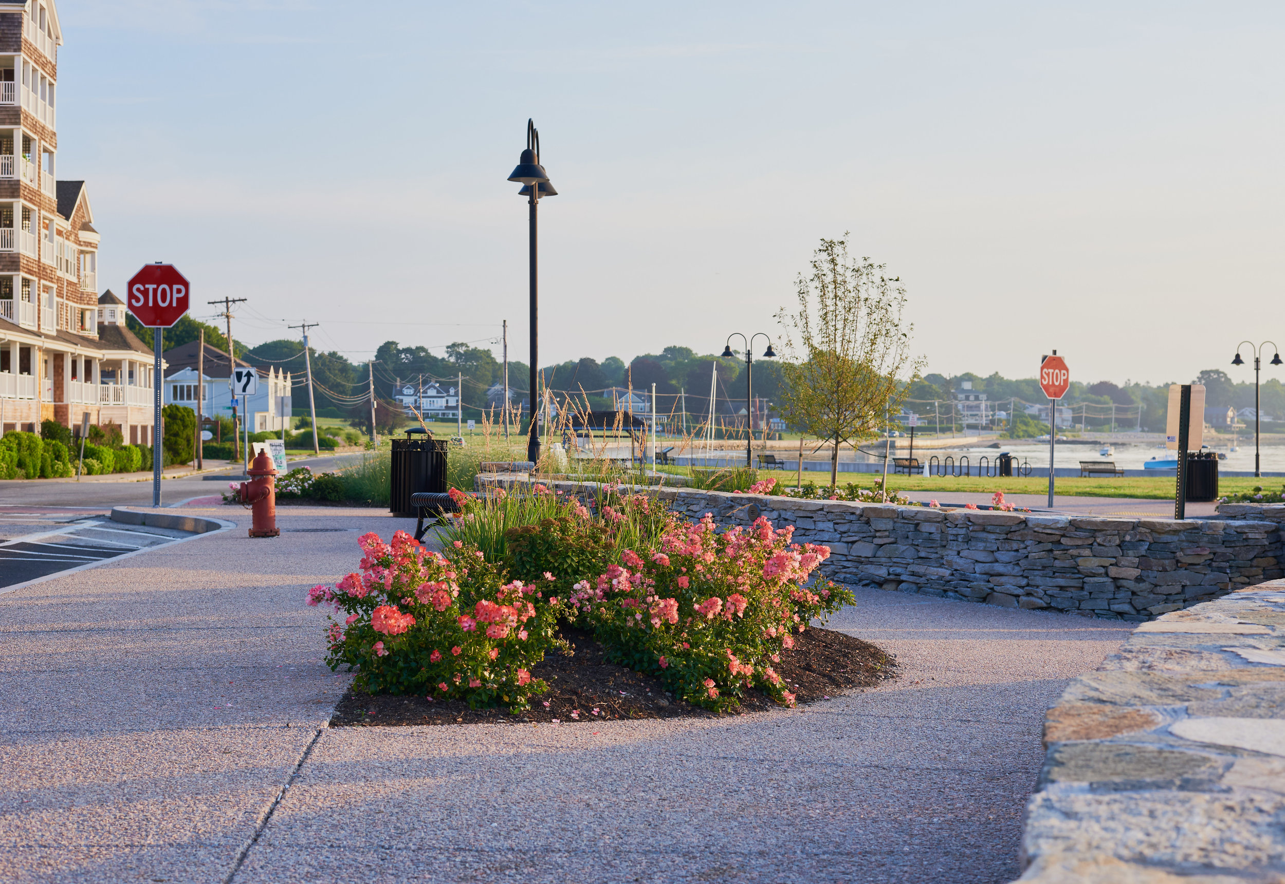

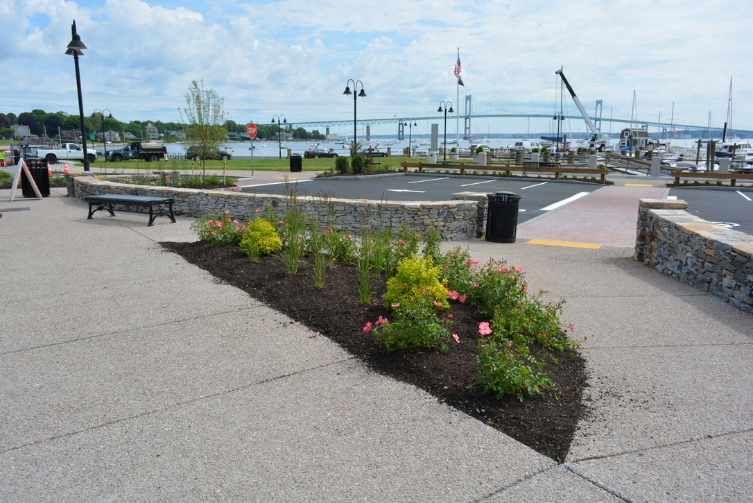
8. East Ferry Common area, "Christmas Tree" location
Several possible locations within newly reconfigured public spaces, including the "Christmas Tree" location. Town of Jamestown property. “Roger Williams and Conanicus” monument is adjacent to this location
Address: Intersection of Conanicus & Narragansett Avenues
GPS: 41.49596, -71.36704
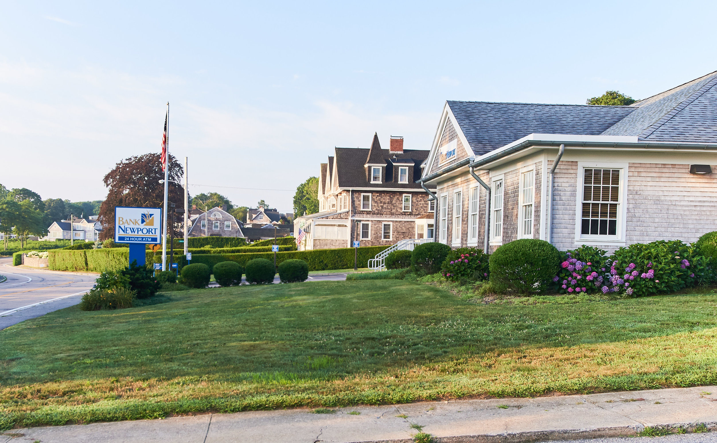
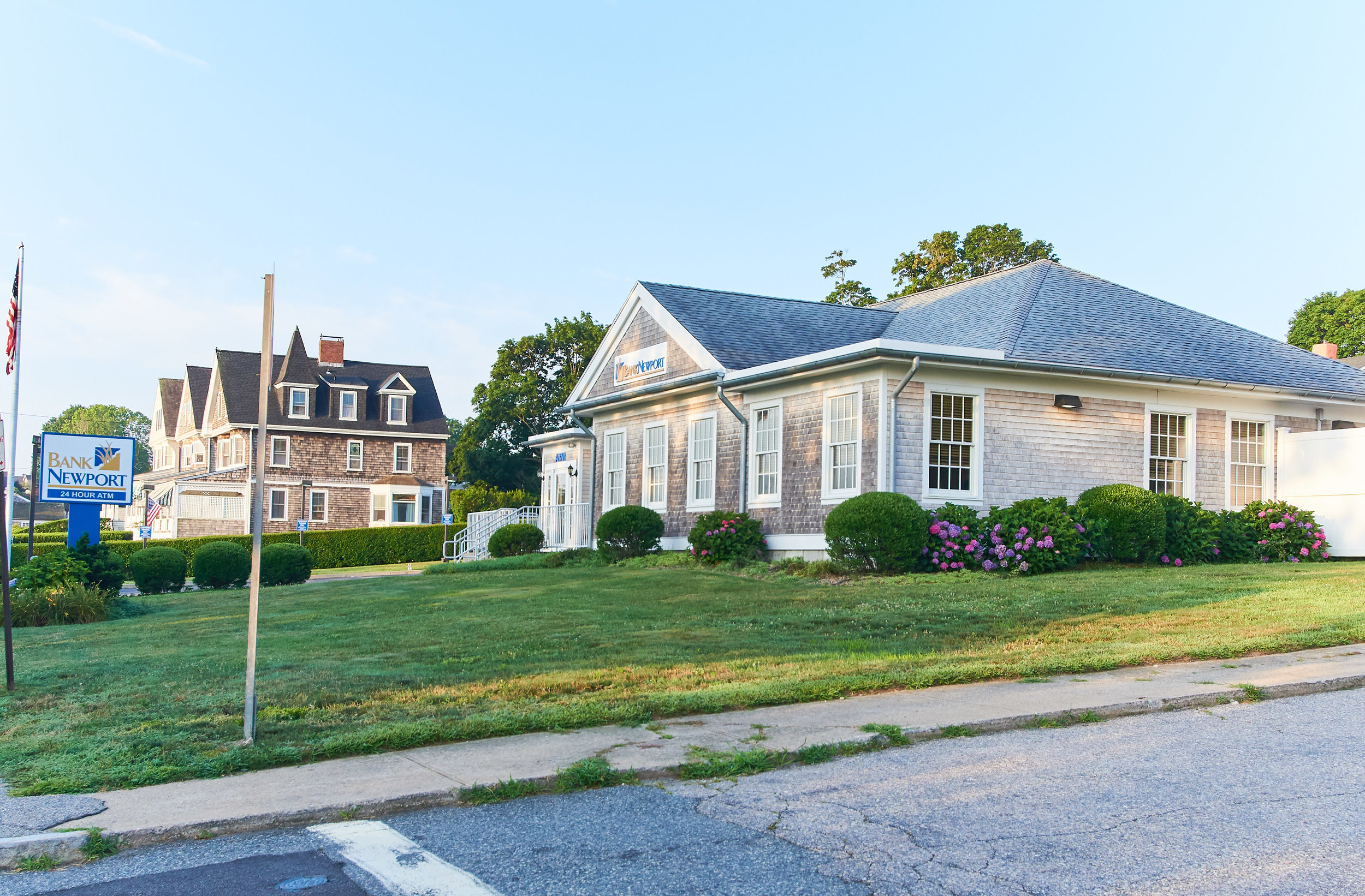
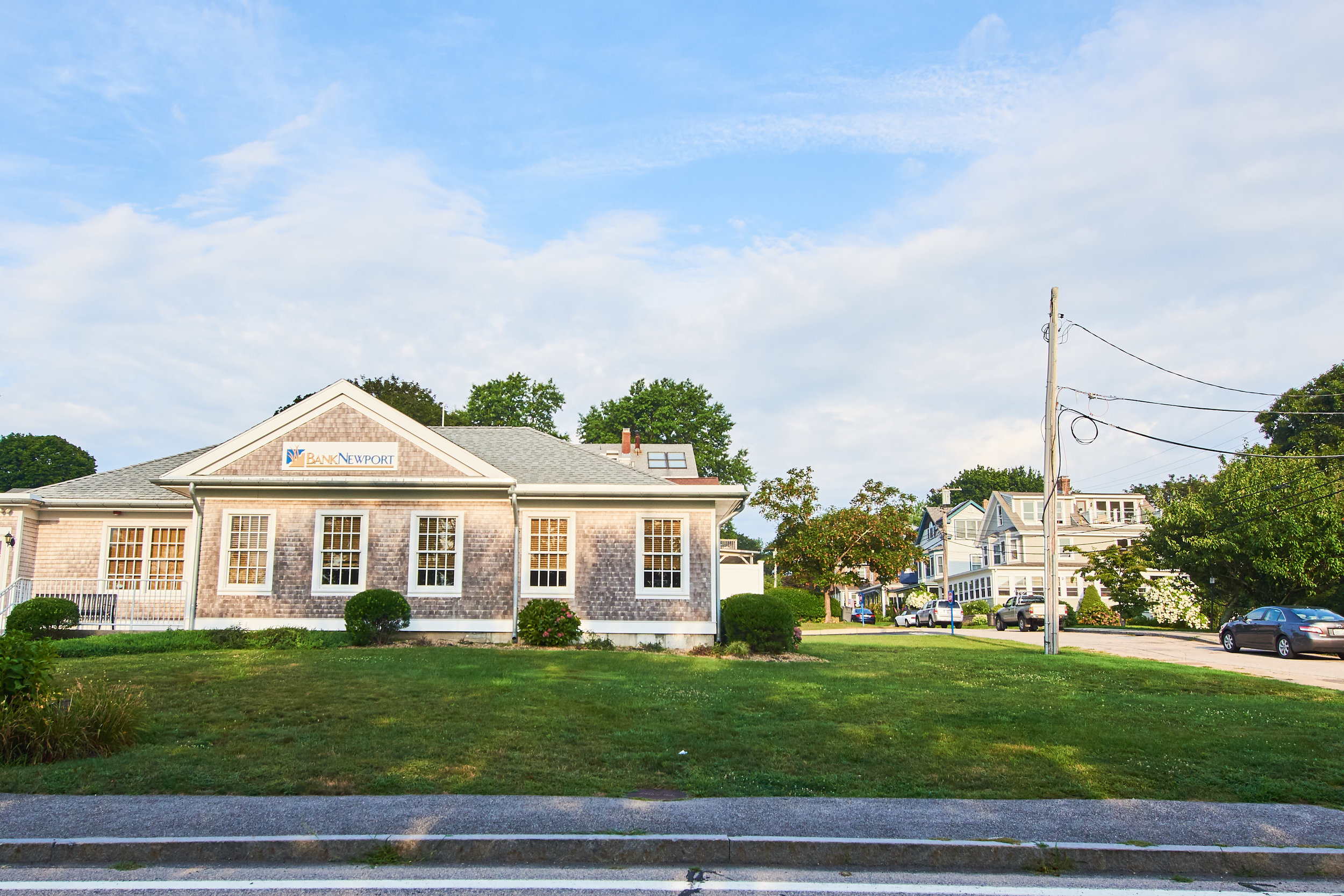
9. BankNewport
Front lawn at BankNewport Jamestown branch. Accessible parking & access. Installation can be dug in if necessary. In partnership with BankNewport, OAE lead sponsor
Address: 31 Conanicus Avenue
GPS: 41.49544, -71.36748
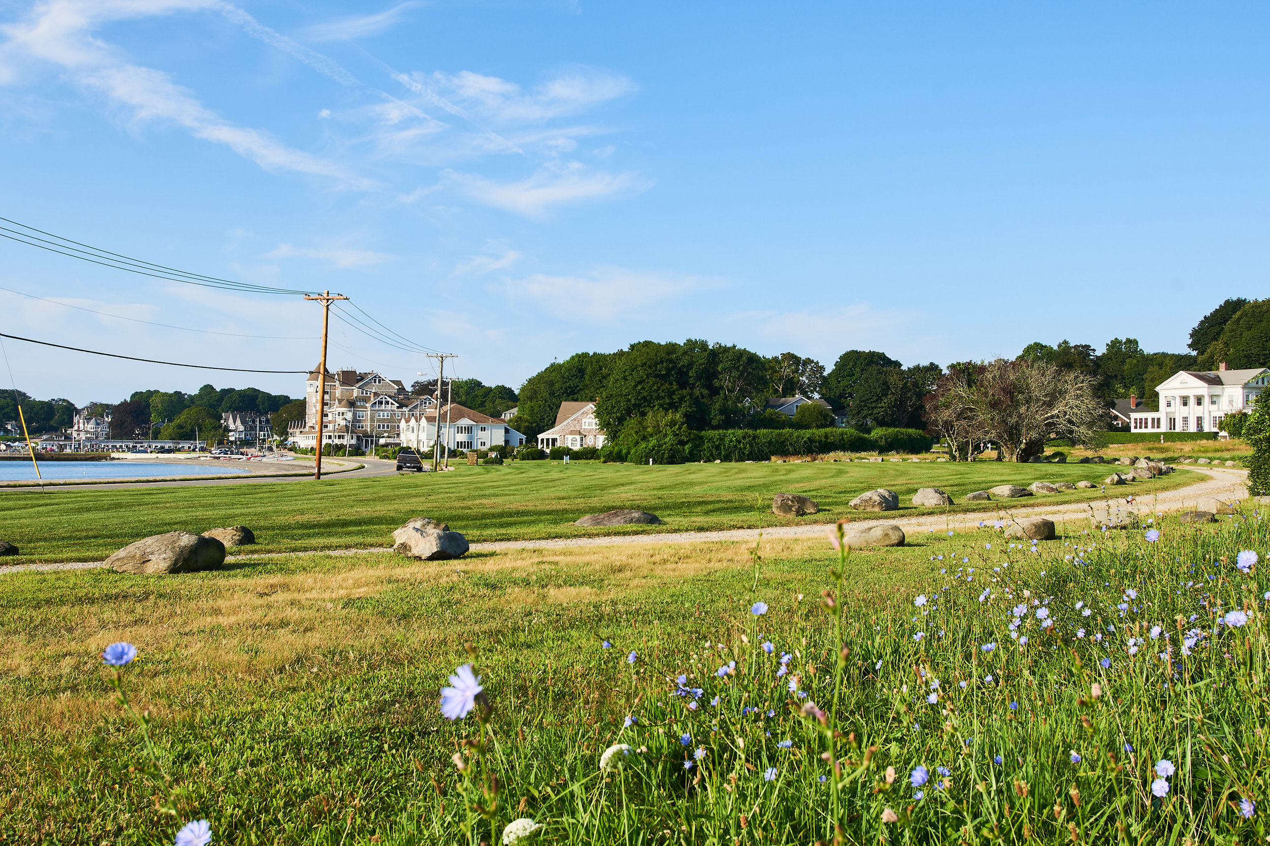
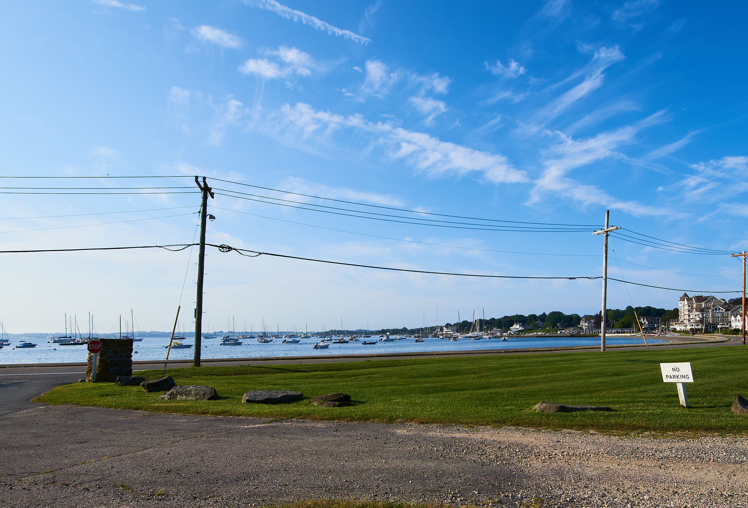
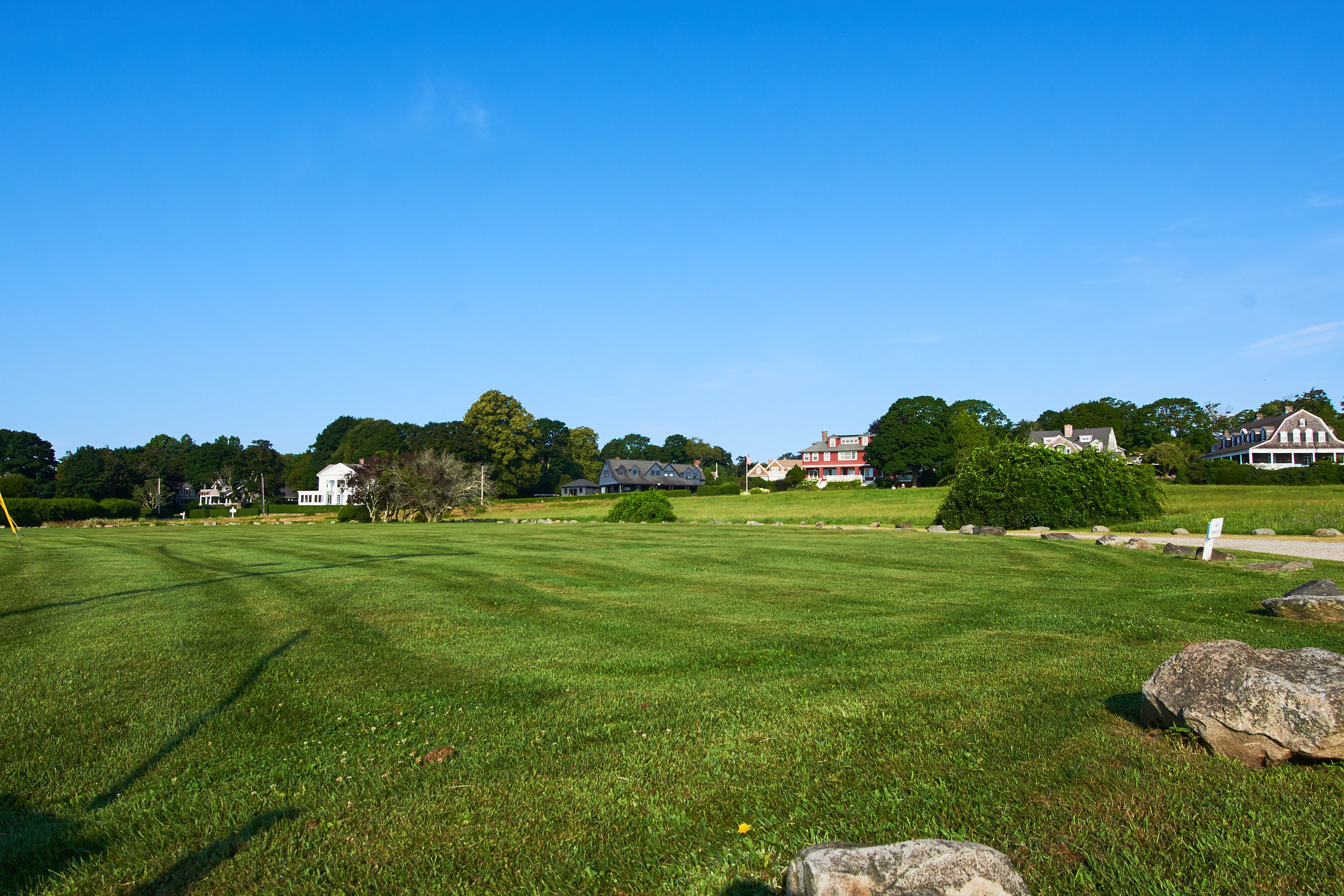
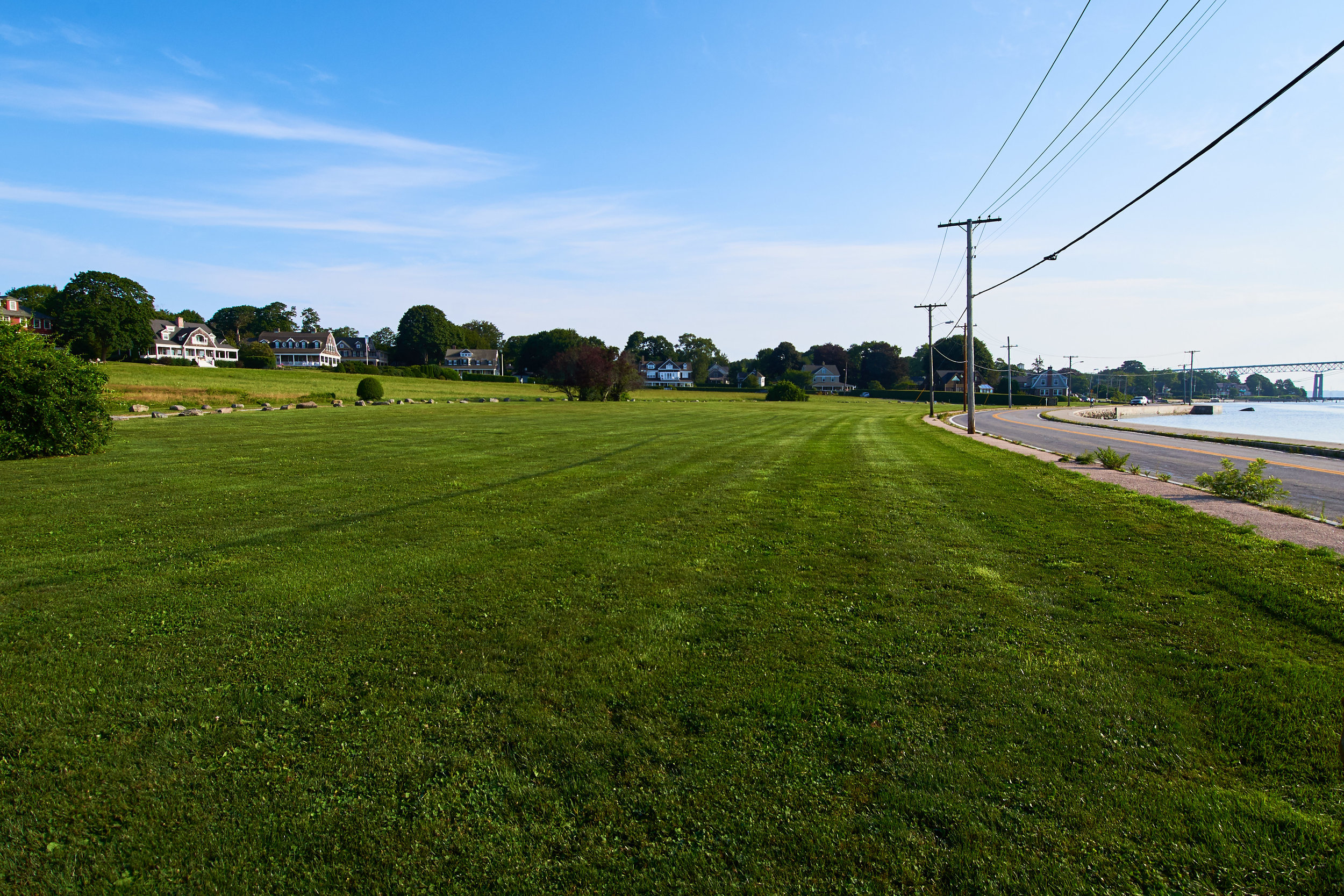
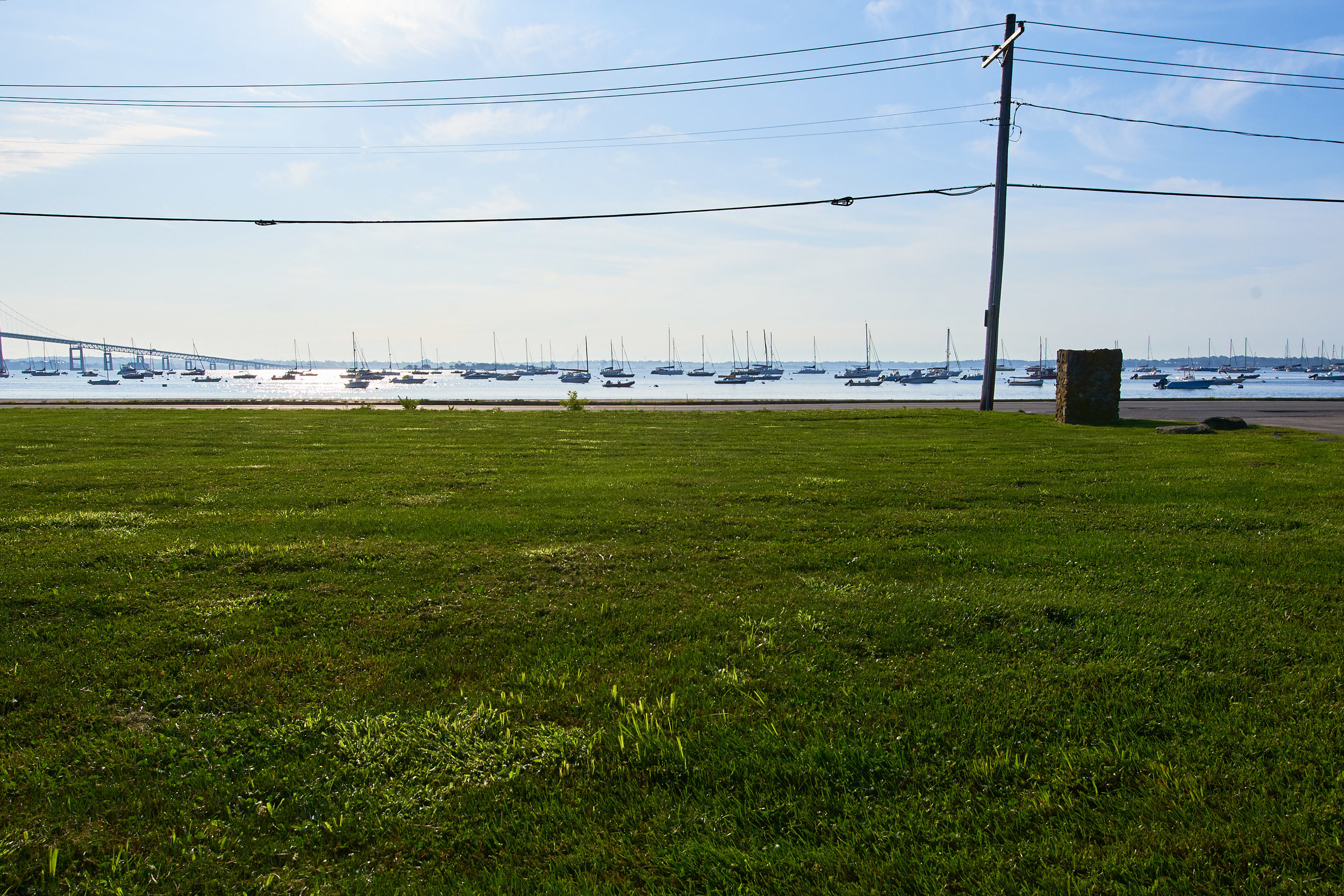
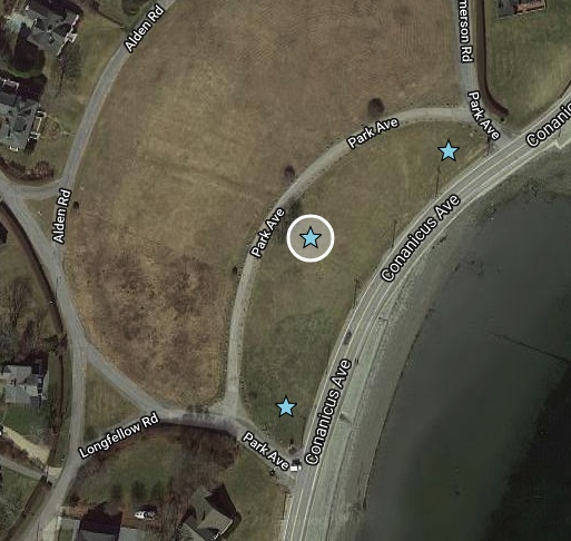
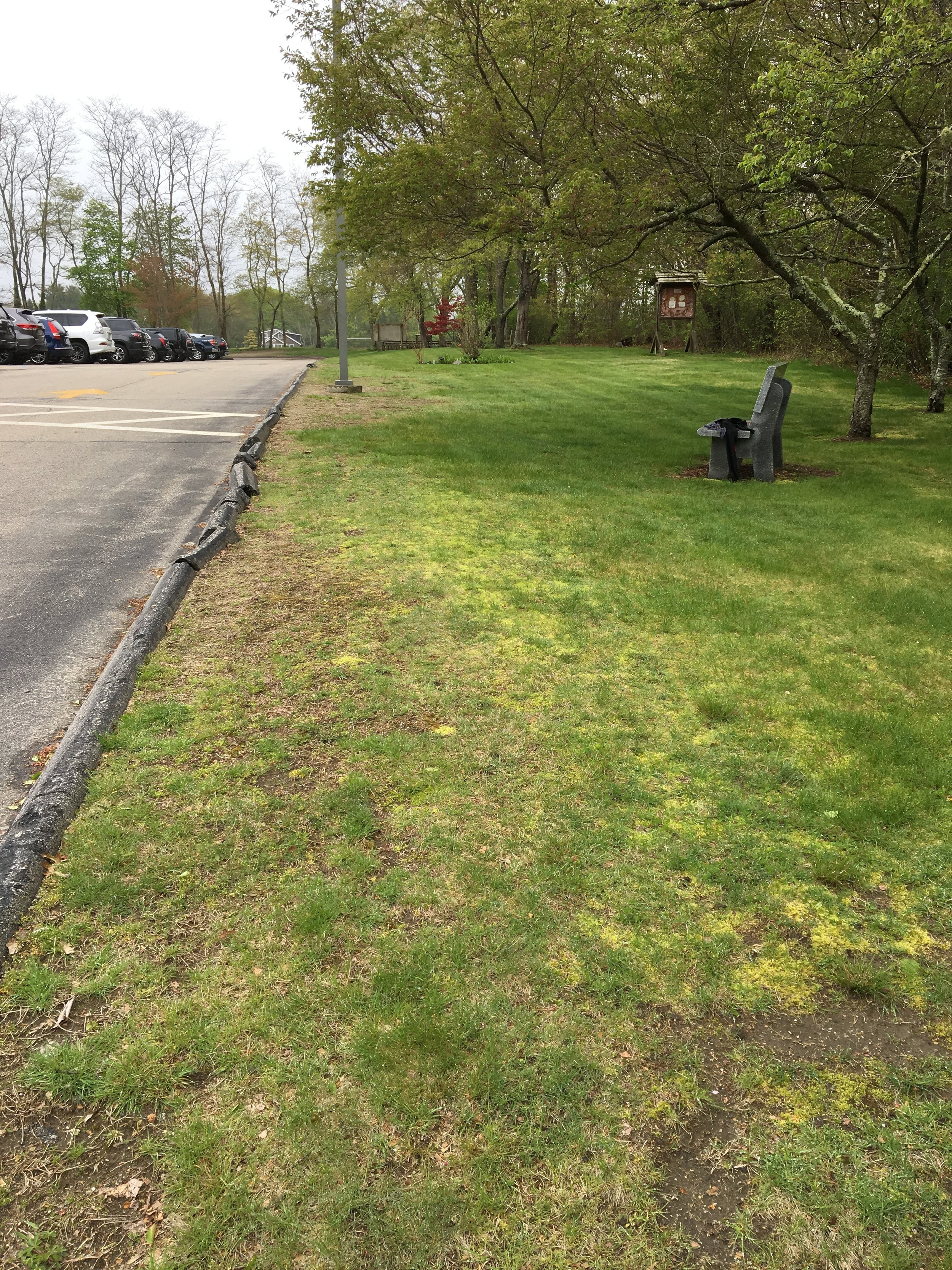
10. First Subdivision of Shoreby Hill, common green
Several locations possible, please consider all three starred locales within the green. No parking; must park in town and walk to locale as there is no access from private Park Avenue. Any installation must not interfere with other community events such as 4th of July Fireworks & Fool’s Rules Regatta.
Address: 75 - 121 Conanicus Avenue
GPS: (1) 41.49909, -71.36679 (2) 41.49941, -71.36607 (3) 41.49846, -71.3669
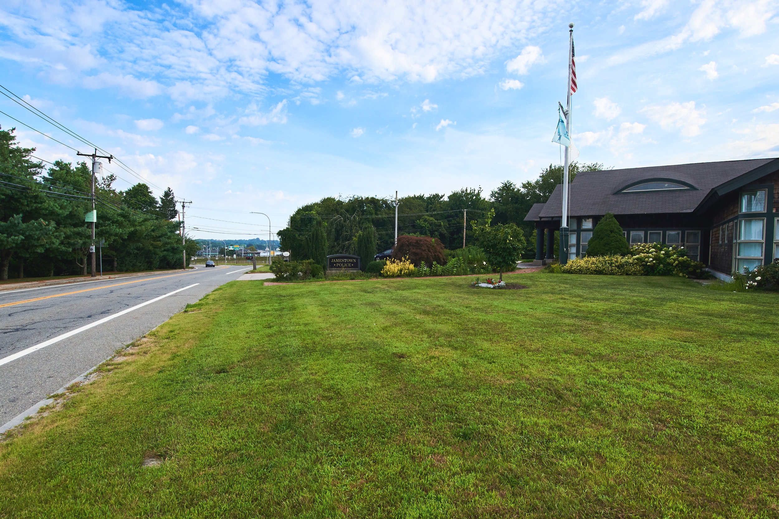
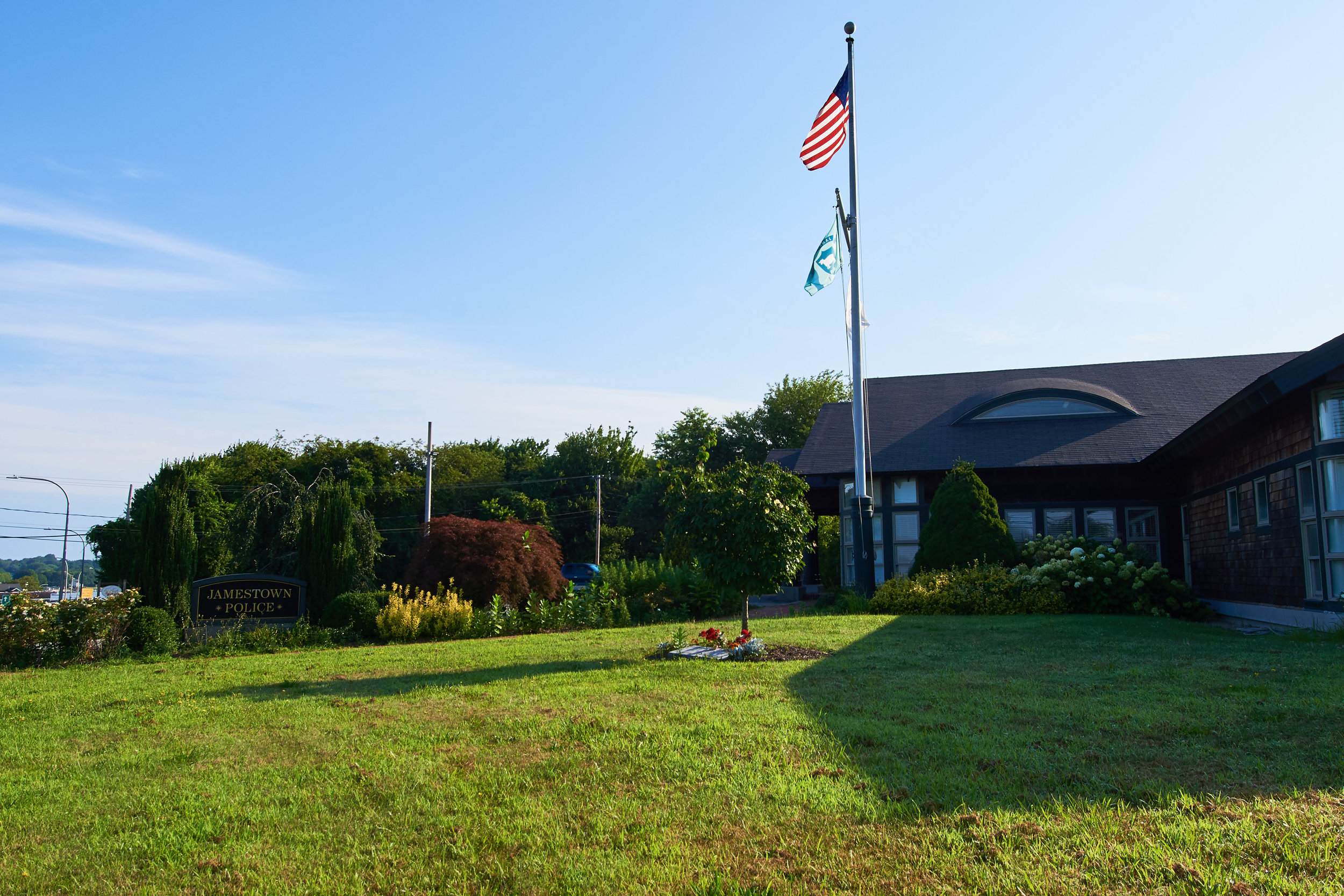
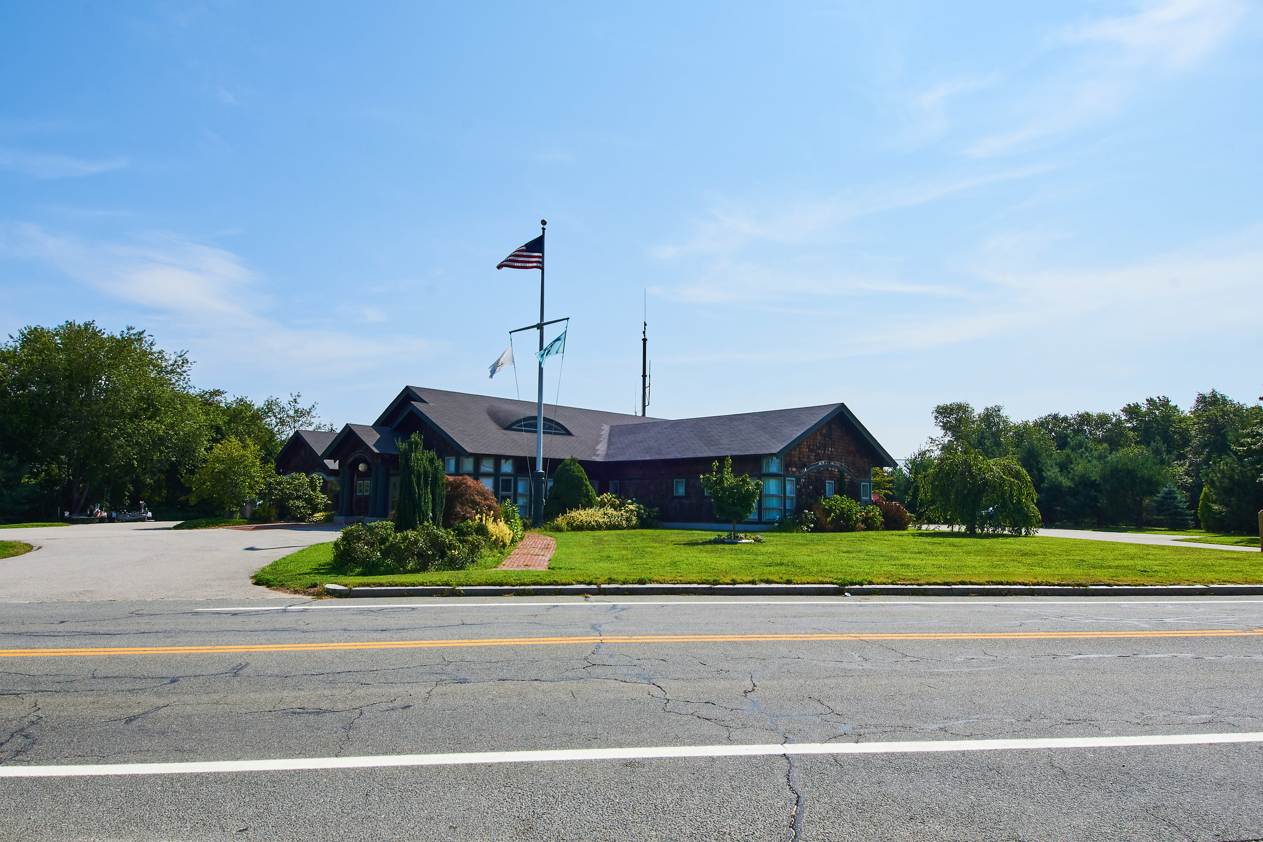
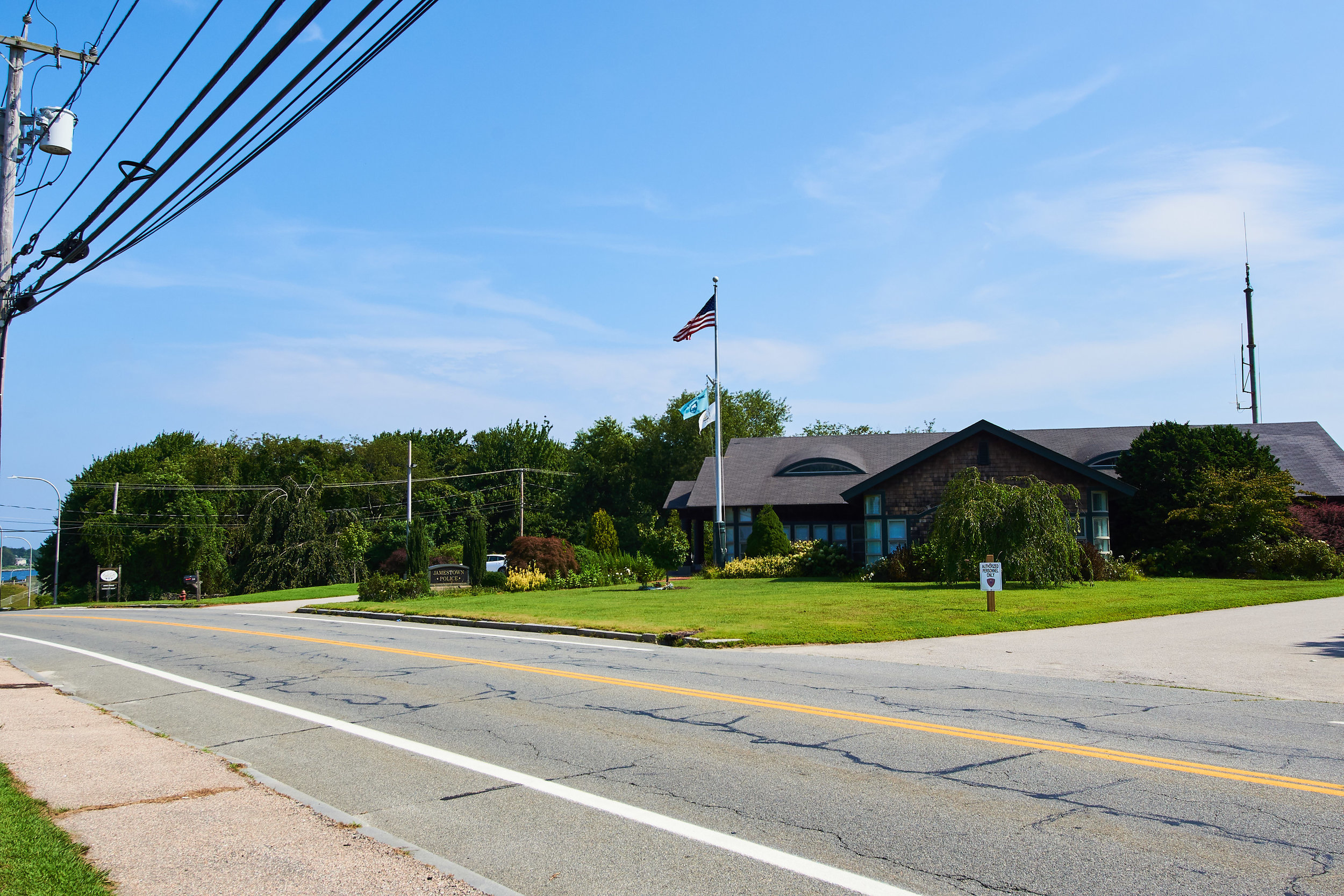
11. Police department grounds
Front lawn of Police Department, along Conanicus Avenue. In partnership with Town of Jamestown and Jamestown Police Department
Address: 250 Conanicus Avenue
GPS: 41.50665, -71.36448
12. RITBA Toll Plaza & Offices
Front lawn, visible from the highway toll plaza, offices and parking lot. ADA accessible through RITBA offices & parking lot. Any installation must not interfere with septic system
Address: 1 East Shore Road
GPS: 41.51052, -71.36551


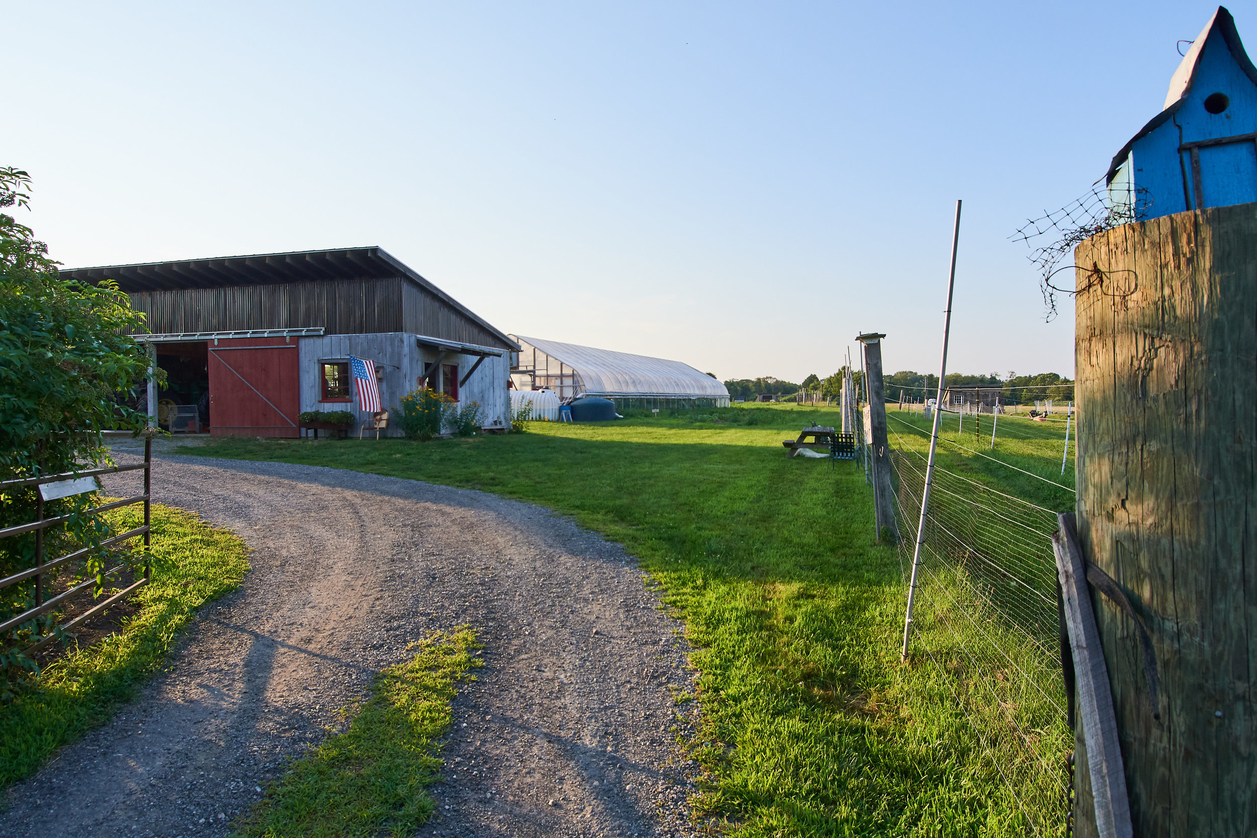
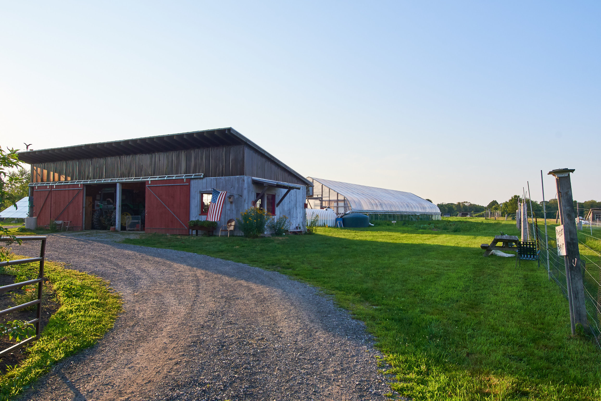
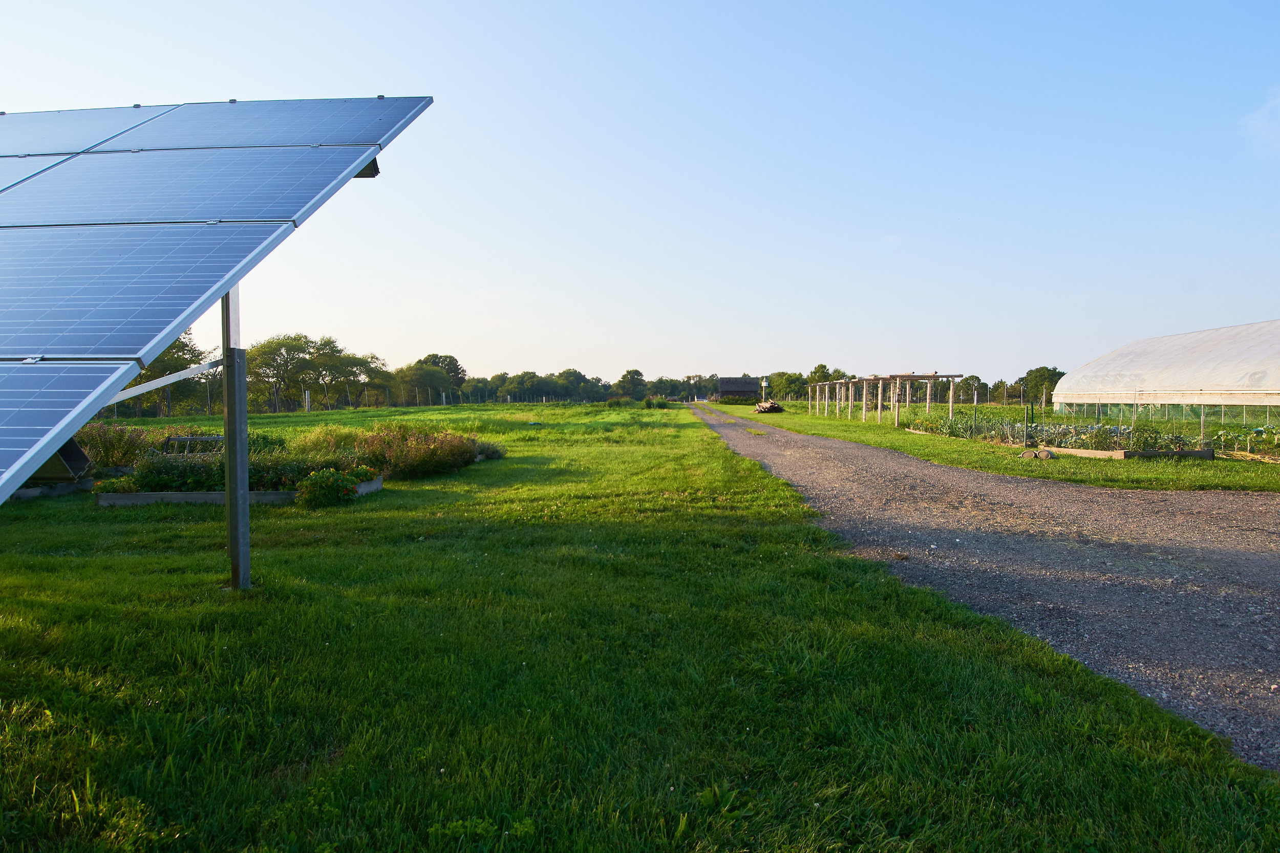
13. Jamestown Community Farm
Several locations possible within the farm property. Environmental, landscape, growing or ephemeral pieces possible here provided farm does not need to maintain.
Address: 90 Eldred Avenue
GPS: 41.52671, -71.36684
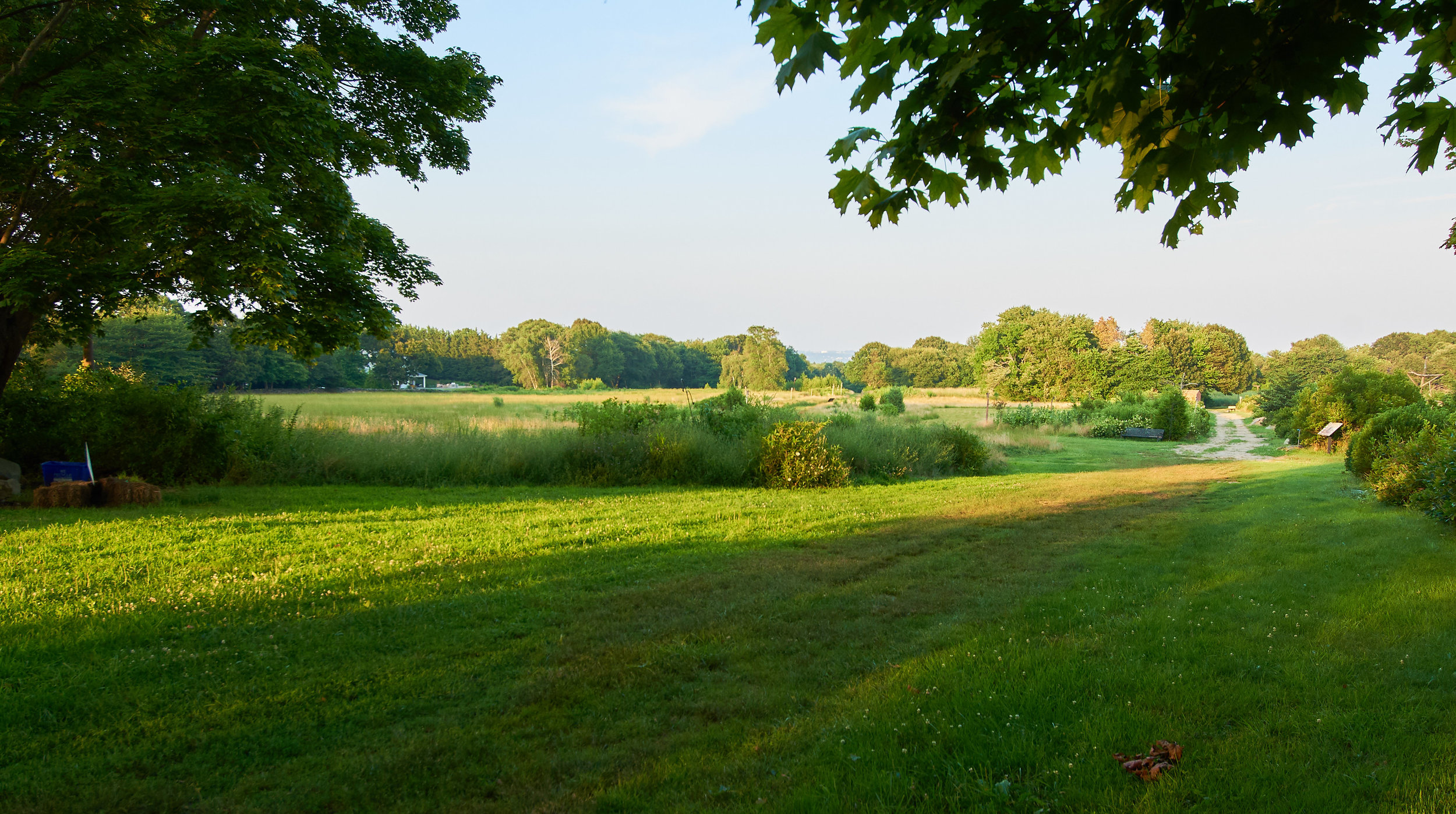
14. Godena Farm
Property owned by Conanicut Island Land Trust. Due to farm operations and accessibility issues, best siting is close to parking lot (final approval of site use pending).
Address: 920 North Main Road
GPS: 41.54315, -71.37448
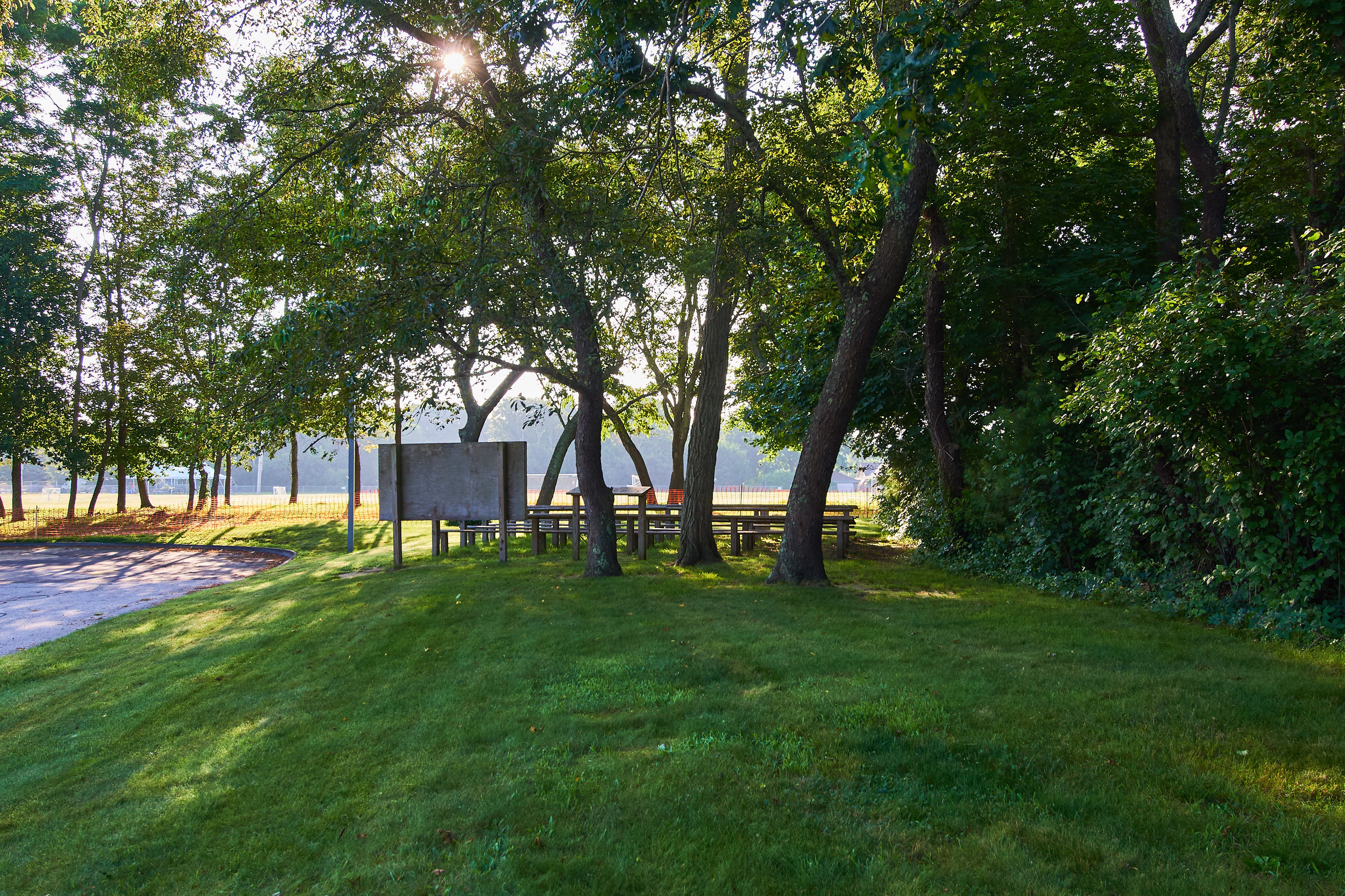
15. Melrose School campus
Site reserved for collaborative piece to be created through Artist's-in-residence program at the Melrose School, please see separate A-I-R description. Lawn along driveway best possibility, as other areas may not be approved due to archeological sensitivity. In partnership with Jamestown Public Schools and Town of Jamestown.
Address: 76 Melrose Avenue
GPS: 41.50005, -71.38045
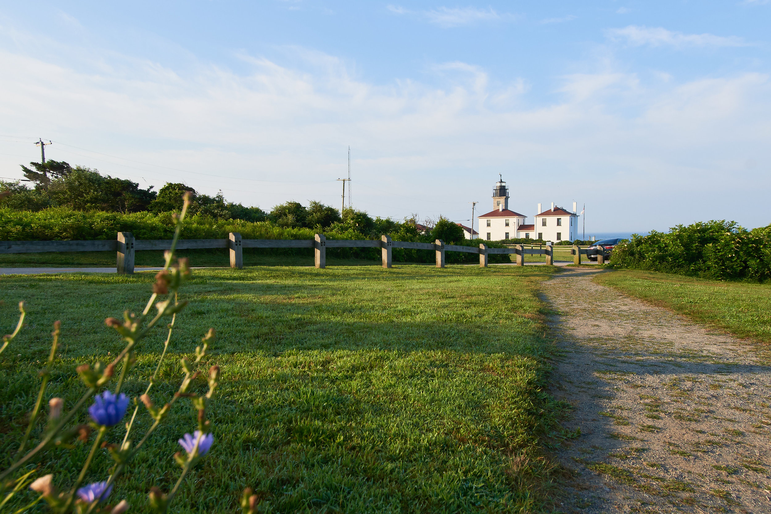
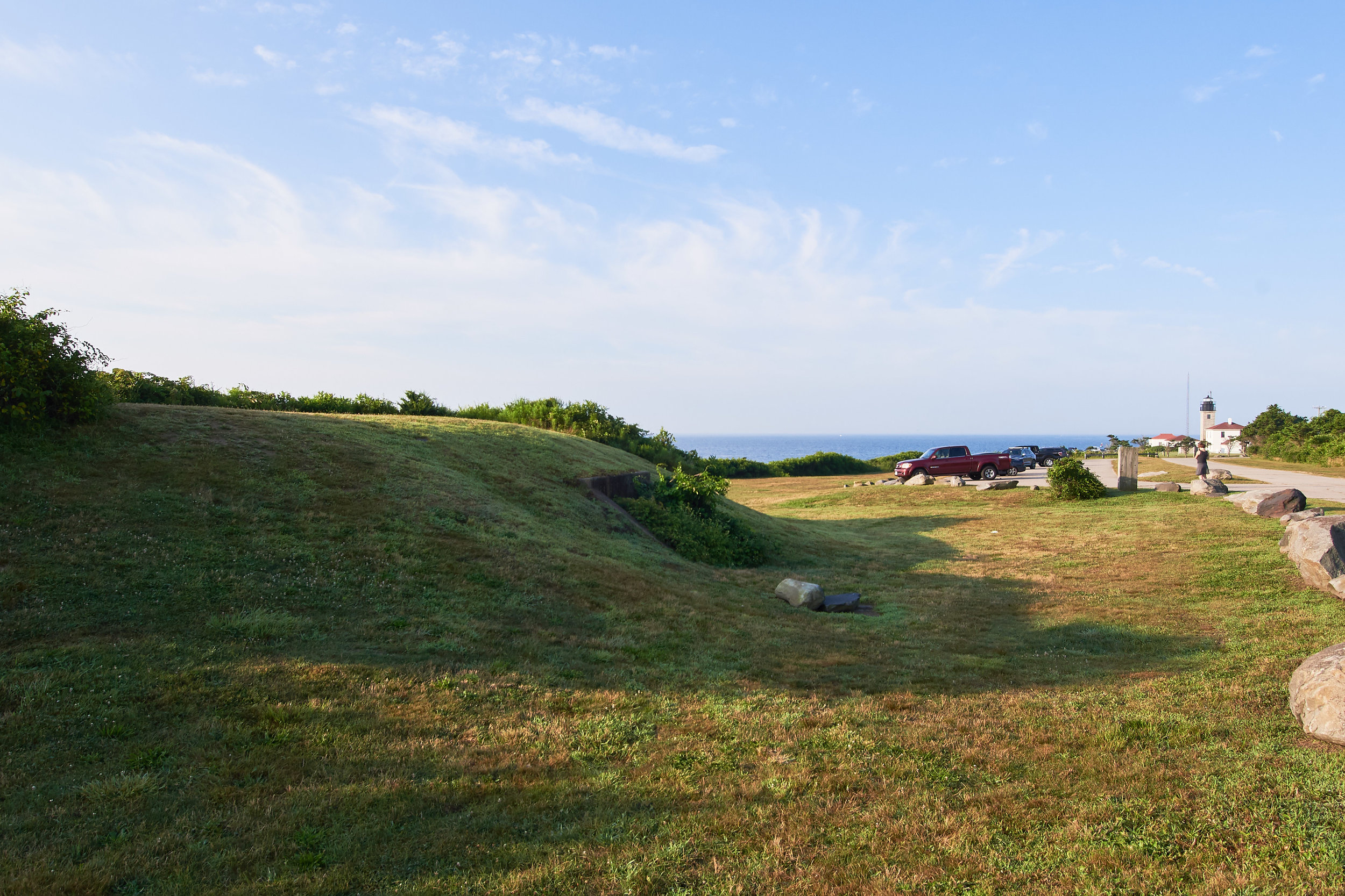
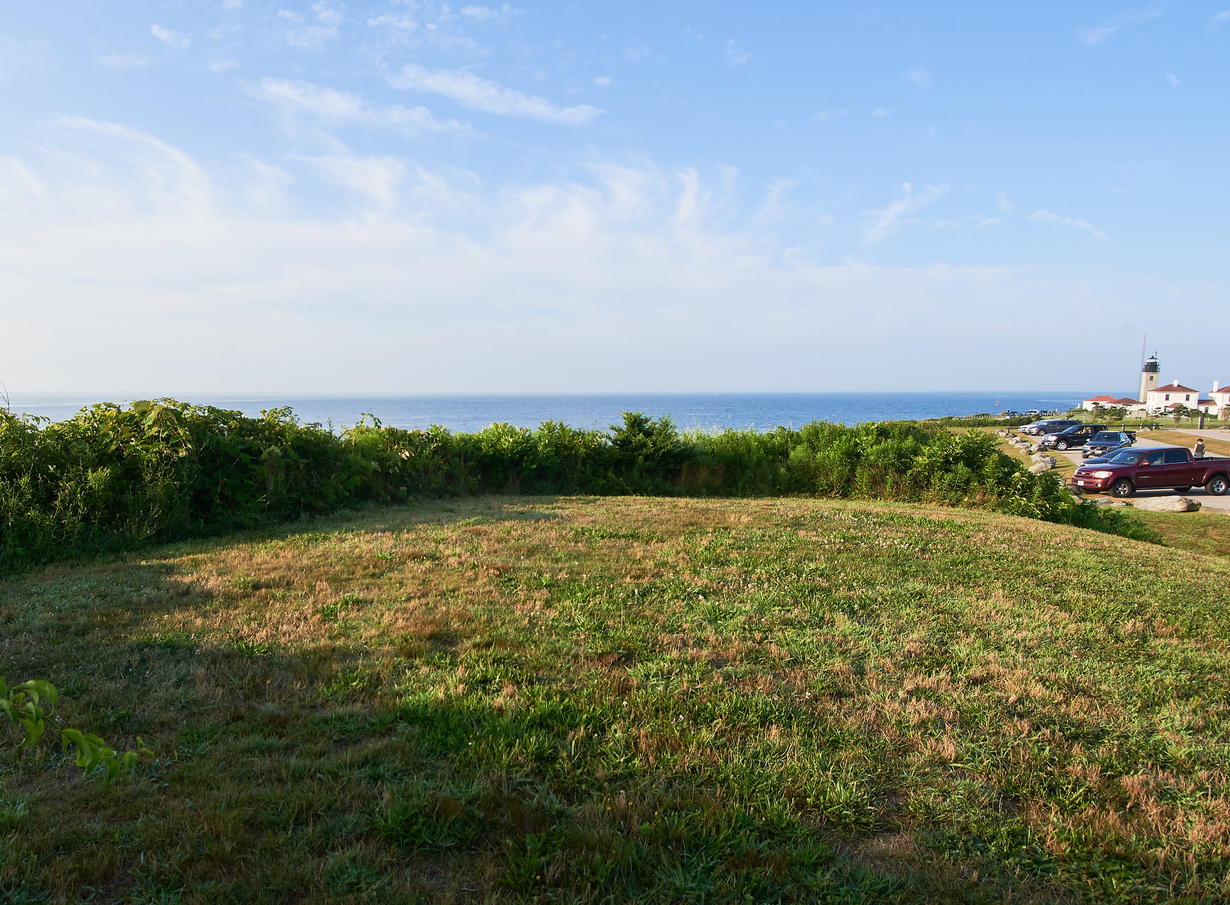
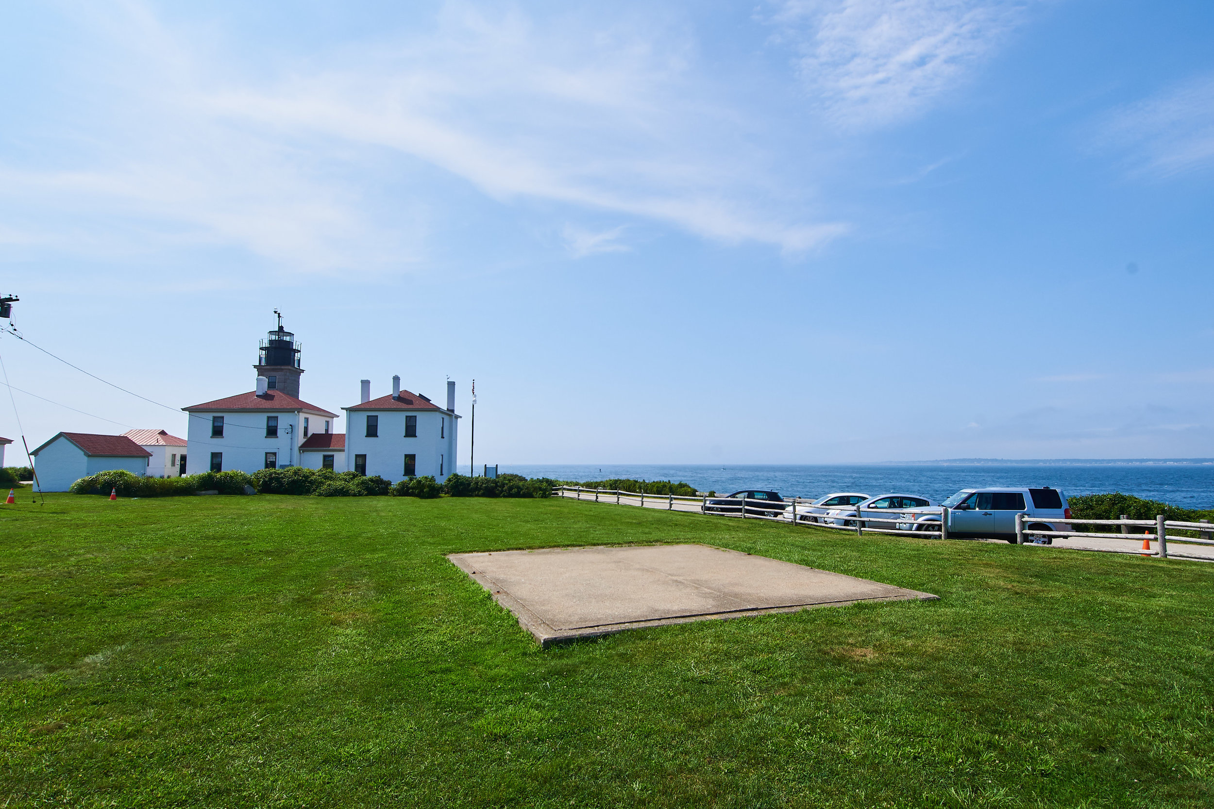
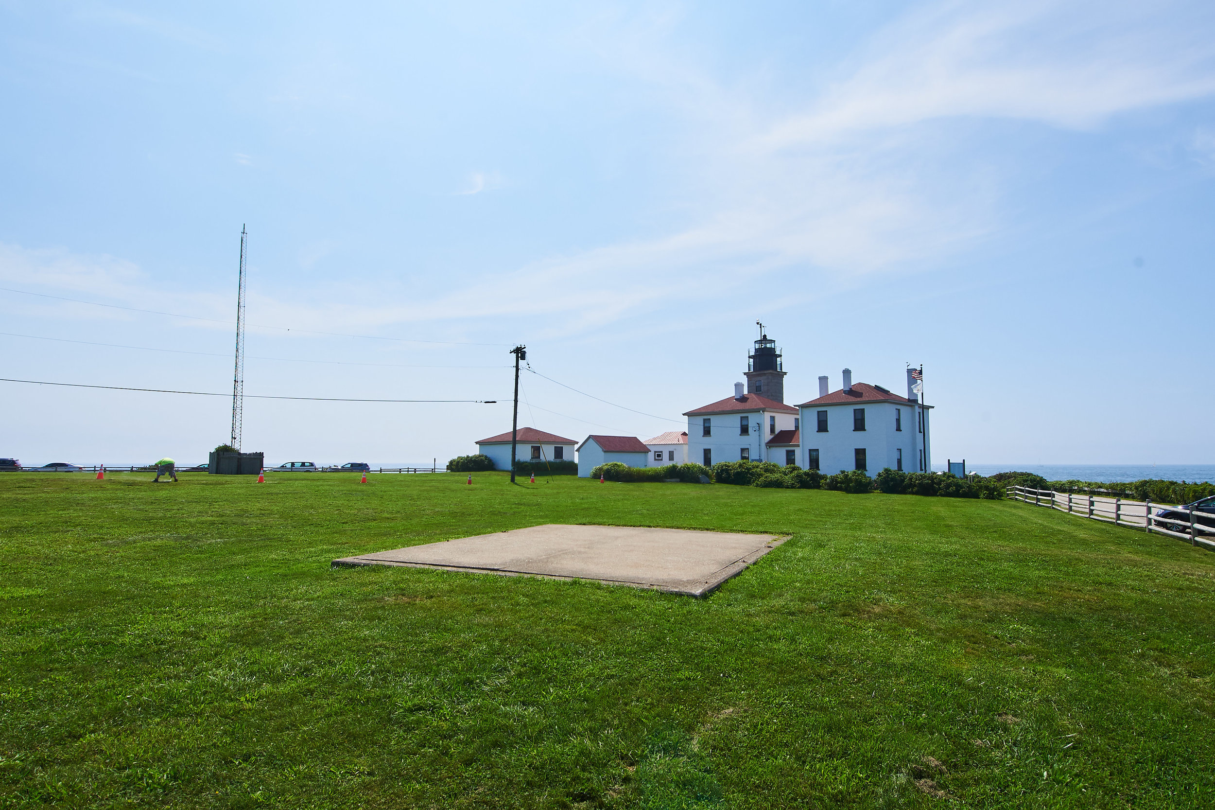
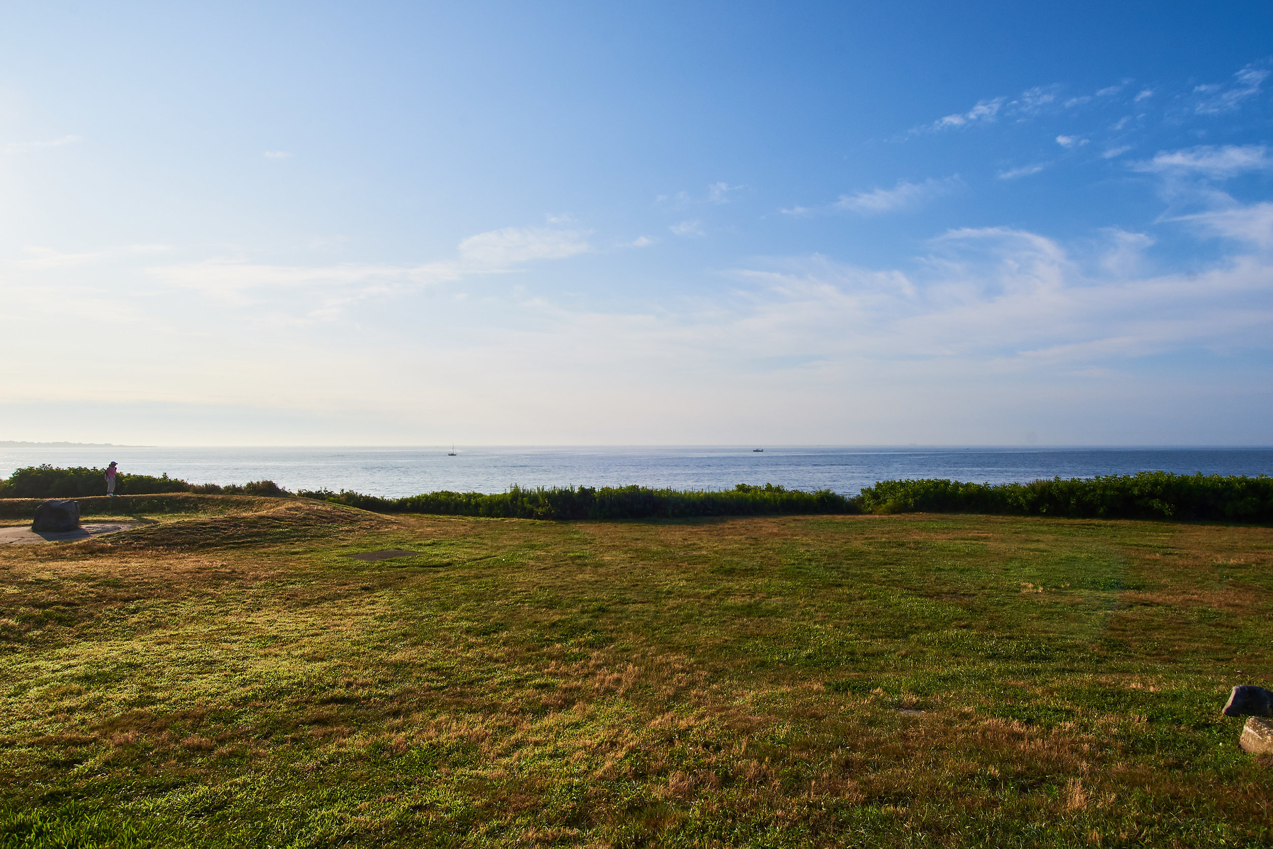
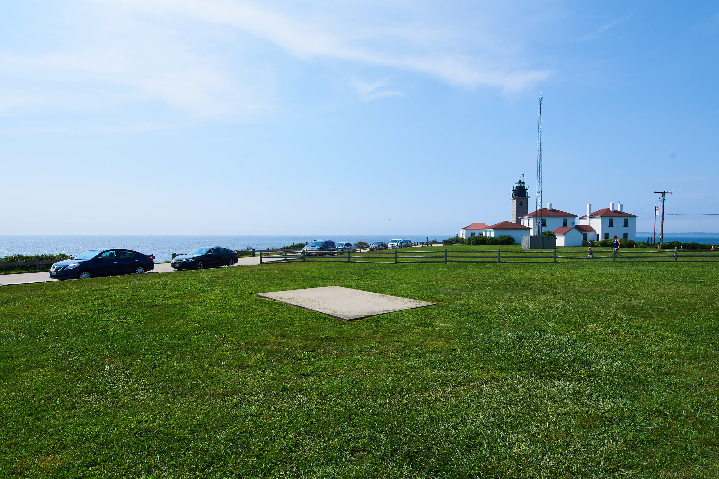
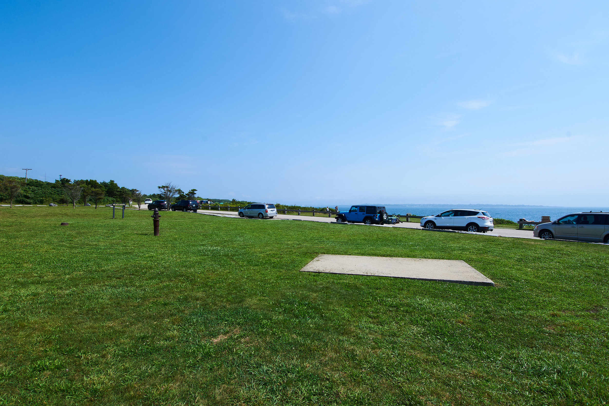
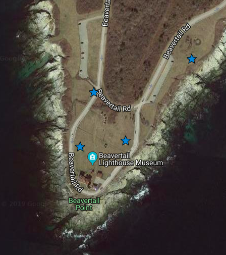
16. Beavertail State Park
Several locations within park are possible to host artworks. In partnership with Rhode Island DEM- Parks & Recreation dept. and Beavertail Lighthouse Museum Association. Any installation of artwork within park subject to final approval of special use permit by DEM.
Address: Beavertail Road
GPS: (1) 41.45089, -71.39931 (2) 41.45143 -71.39719 (3) 41.45006, -71.3986 (4) 41.44999, -71.39956

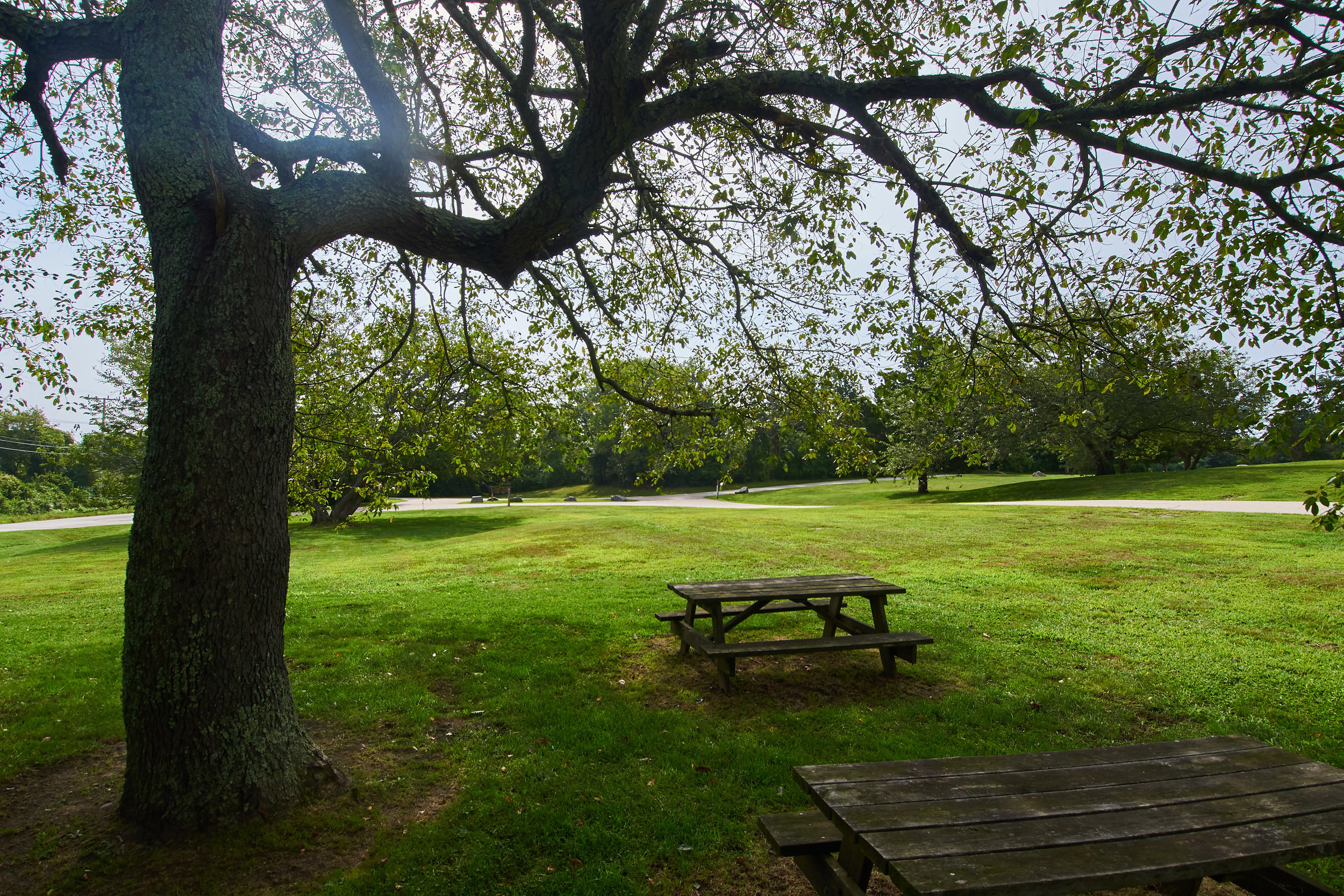
17. Fort Wetherill State Park
A number of sites possible for artwork within park, especially lawn facing Forth Wetherill Road. Area has history of graffiti and artist needs to be accepting of risk. Any installation needs to be sited so as not to interfere with visitor's use of park, ie picnicking & recreation. Any installation of artwork within park subject to final approval of special use permit by DEM.
Address: 51 Fort Wetherill Road
GPS: 41.48066, -71.36453
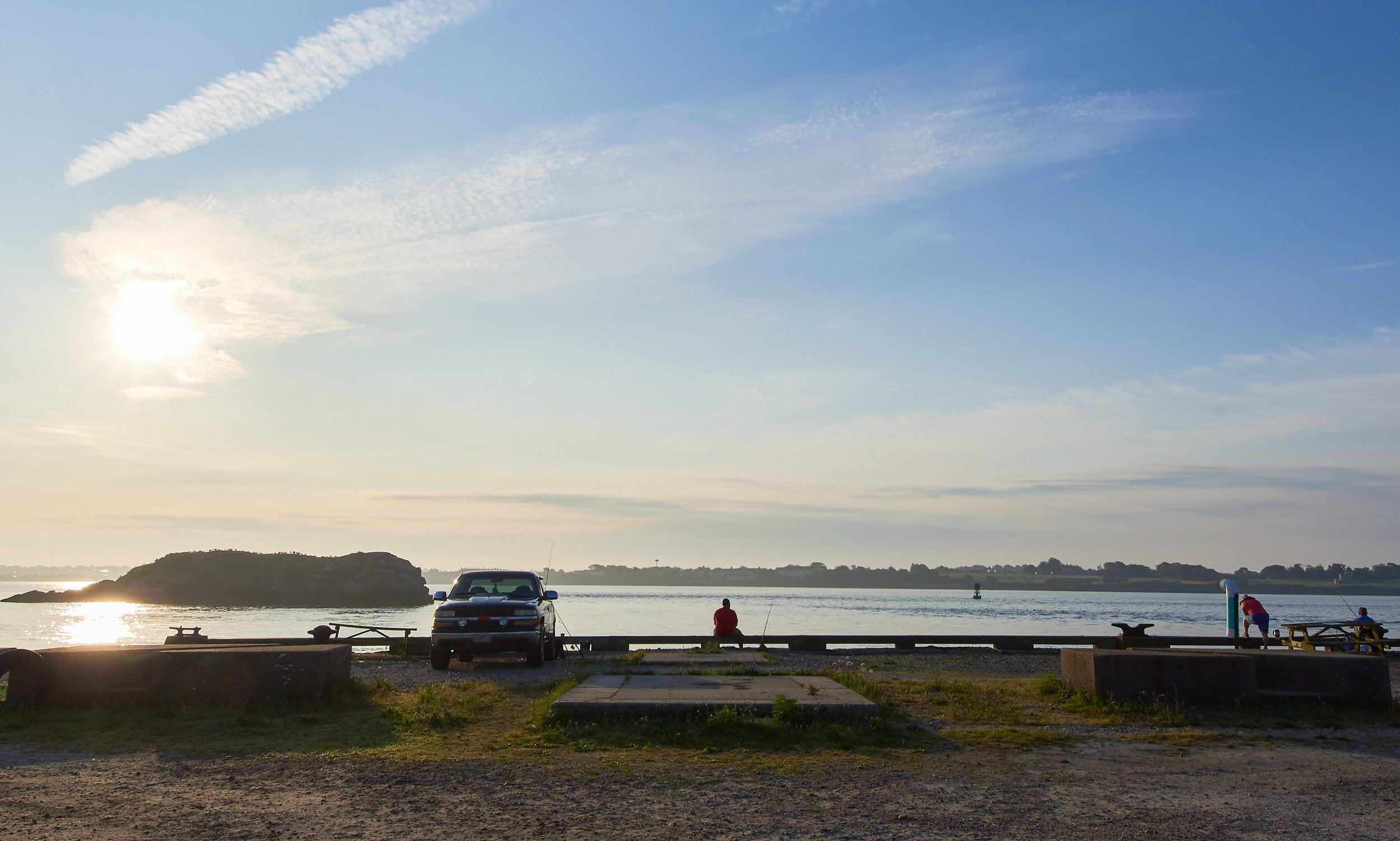
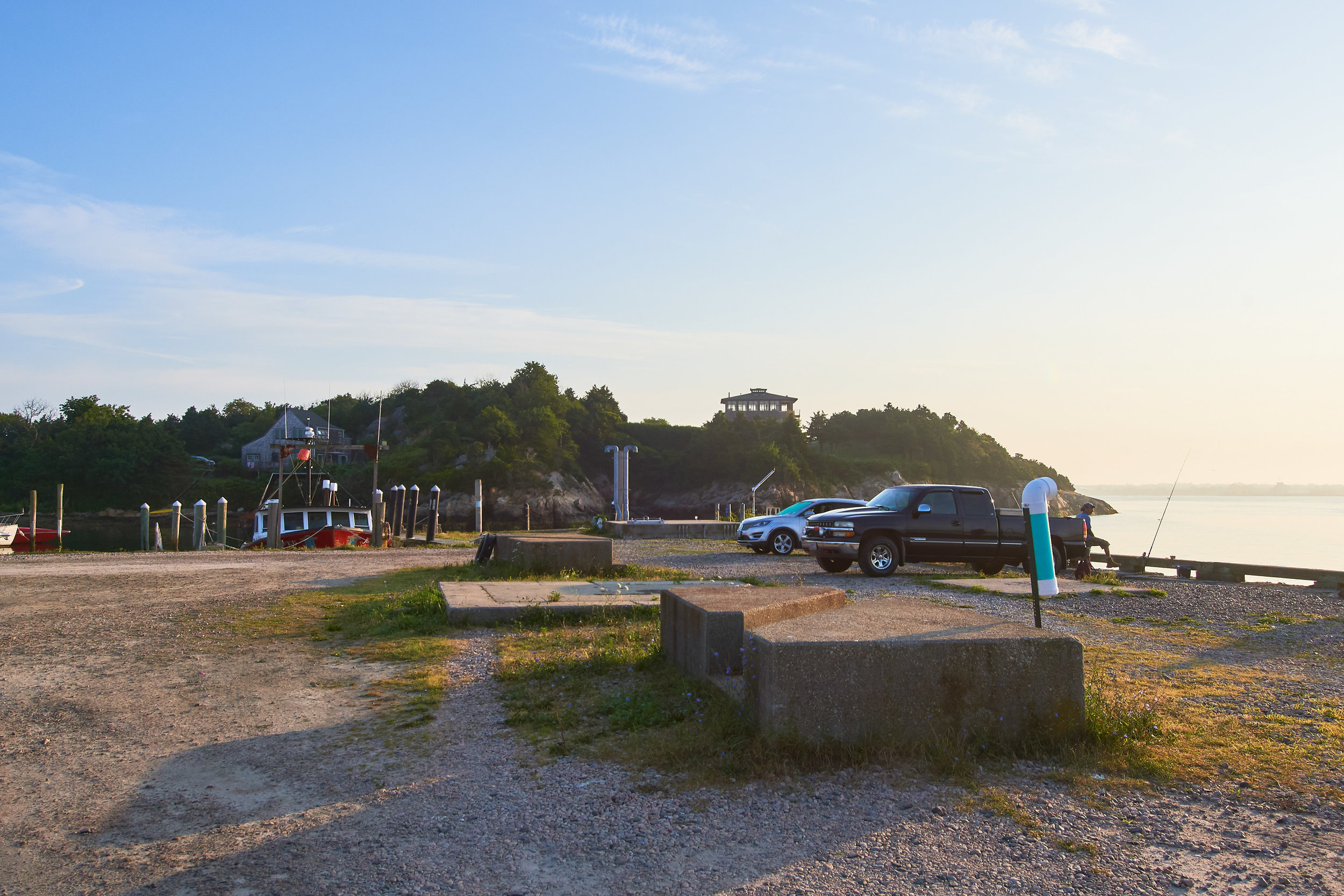
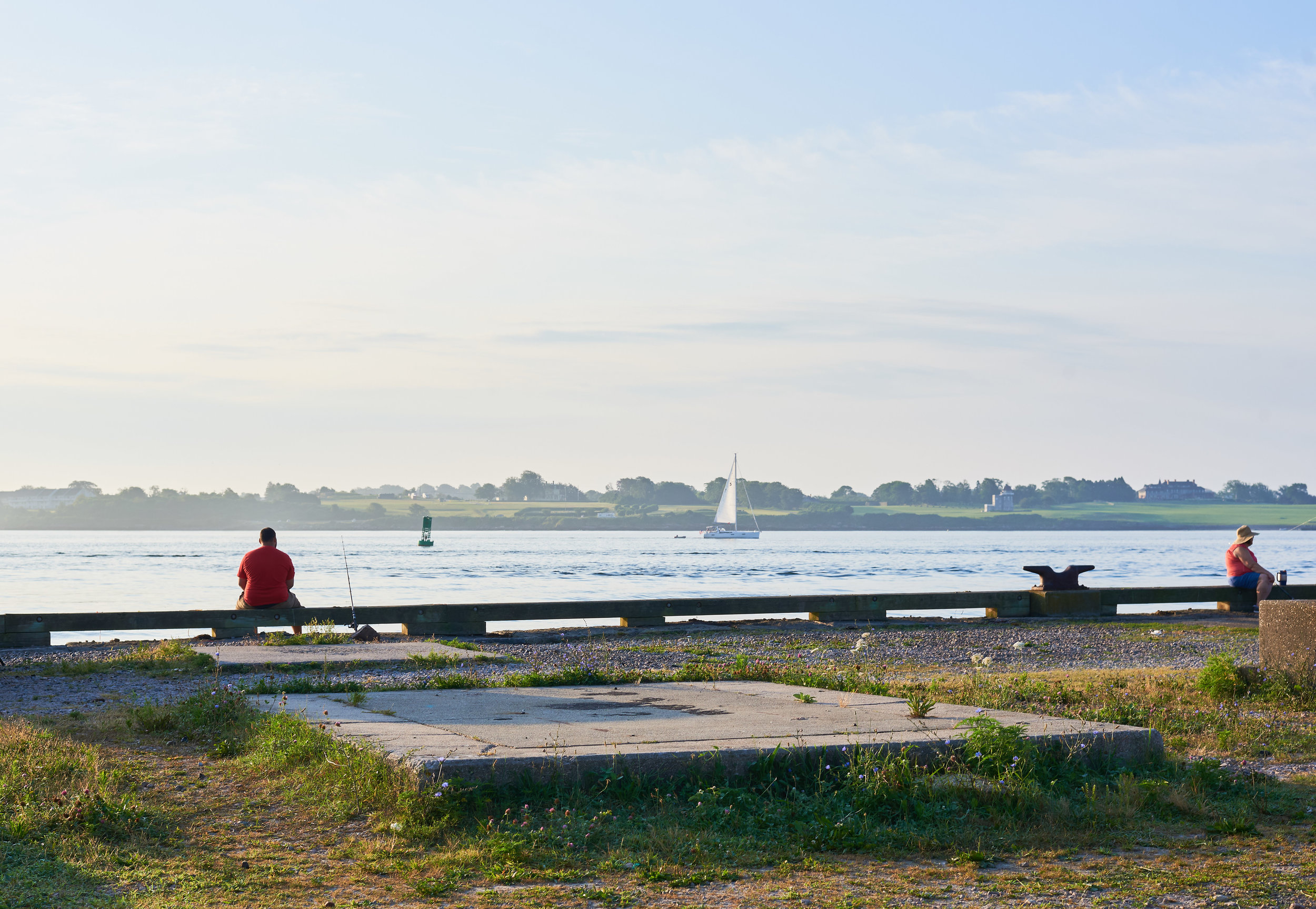
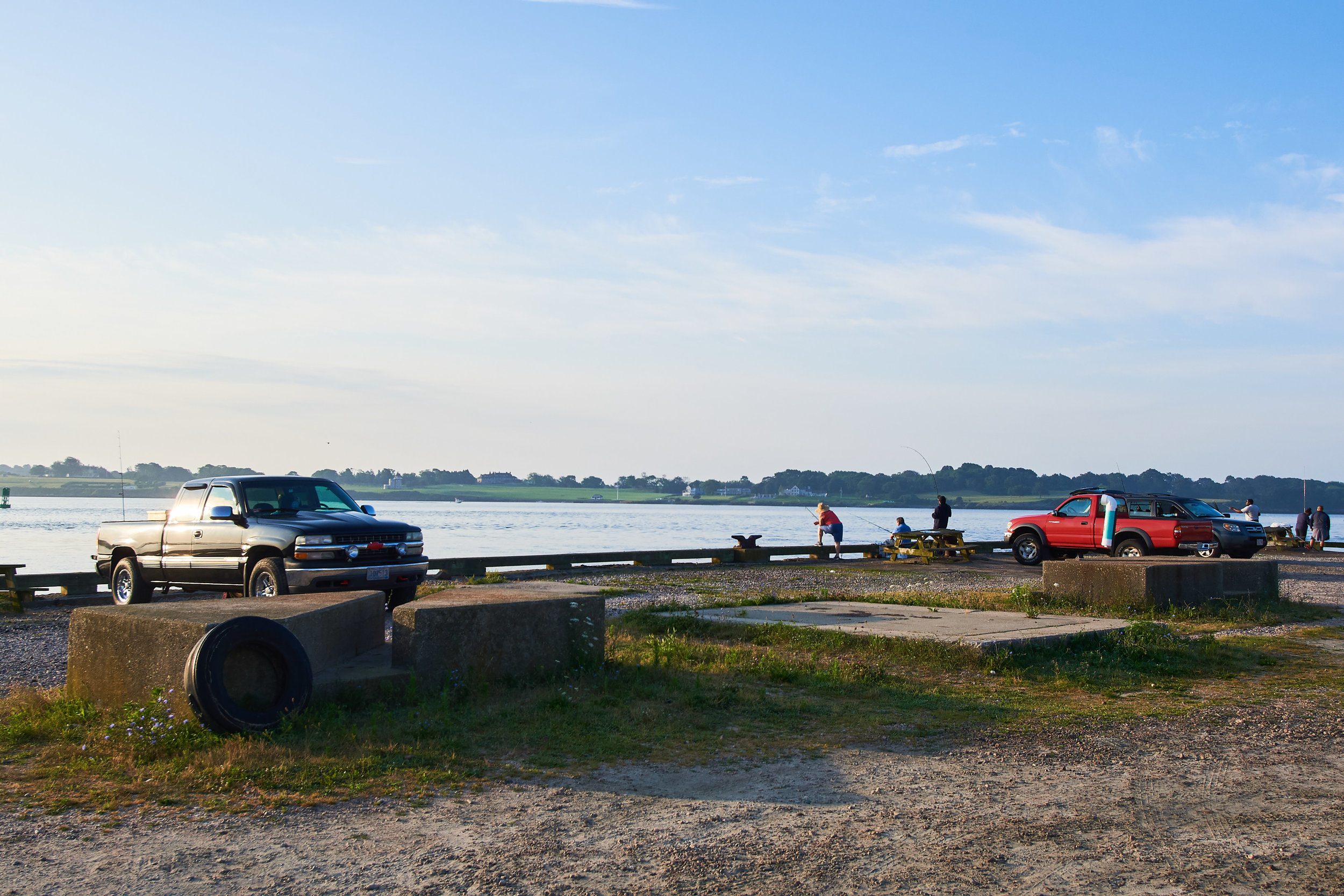
18. Division of Marine Fisheries/Ft. Wetherill
Waterfront area overlooking Newport Harbor and the East Passage of Narragansett Bay; artwork installation can utilize existing concrete structures for support. Area has history of graffiti, artist needs to be accepting of risk. Area is exposed to wind & salt spray, any installation needs to be adequately sturdy. Any installation of artwork within park subject to final approval of special use permit by DEM.
Address: 3 Fort Wetherill Road
GPS: 41.47865, -71.35711